
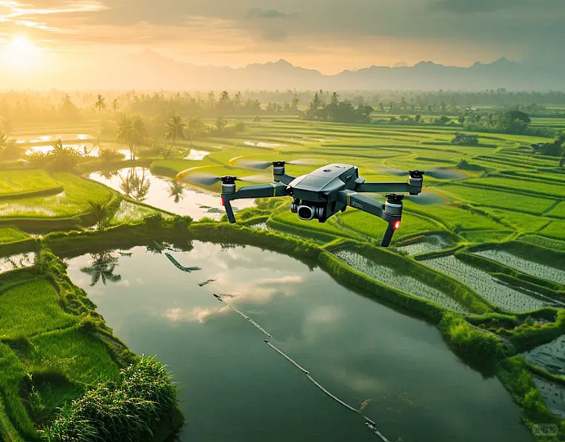
In the ever-evolving field of technology, drone mapping software has emerged as a critical tool for conducting accurate aerial surveys. These software solutions are designed to transform raw aerial images into valuable insights, helping professionals across various industries optimize their operations and make informed decisions. With the increasing reliance on drones for mapping and surveying, selecting the right drone mapping software has become essential for obtaining precise and reliable data.
Key Features of Drone Mapping Software
Drone mapping software typically offers a range of features tailored to enhance the mapping process. These features might include georeferencing, image stitching, 3D modeling, and data analytics. Georeferencing ensures that the images captured by drones are accurately aligned with real-world coordinates, facilitating seamless integration with existing geographical data. Image stitching combines multiple images to create high-resolution maps, offering a comprehensive view of the surveyed area.
- 3D modeling further extends the capabilities of drone mapping software, enabling the creation of detailed three-dimensional representations of terrains and structures. This is particularly useful in construction, agriculture, and environmental monitoring, where understanding the elevation and shape of the land is crucial.
- Advanced data analytics tools allow users to extract actionable insights from the mapped data, such as calculating area, volume, or identifying changes over time, which can be crucial for sectors like mining and forestry.
Choosing the Right Software
When selecting drone mapping software, it is important to consider factors such as ease of use, compatibility with various drone models, and the quality of customer support. Additionally, consider the scalability of the software to accommodate future business needs as your surveying operations expand.
One should also evaluate cost-effectiveness against long-term benefits. While some software solutions may offer a lower upfront cost, they might lack key features that provide substantial advantages in the long run.
Popular Drone Mapping Software Solutions
Numerous drone mapping software solutions have dominated the market, each bringing unique features to the table. For instance, DroneDeploy, a leader in the industry, offers robust mapping features combined with user-friendly interfaces. Pix4D, another major player, provides advanced photogrammetry capabilities, making it ideal for high-precision tasks.
Other notable mentions include Agisoft Metashape and Maps Made Easy, both of which are renowned for their reliability and comprehensive mapping tools.
Real-World Applications
The application of drone mapping software spans a variety of industries, with construction companies leveraging these tools to monitor project progress, and farmers using them for precision agriculture to enhance crop yields. Environmental agencies use drone mapping for conservation efforts, tracking wildlife, and assessing ecological changes. In urban planning, such software is pivotal for infrastructure development, helping planners visualize proposed changes and assess their impact on the environment.
FAQs
- What is the benefit of using drone mapping software?
- Drone mapping software provides precise spatial data quickly, allowing for efficient land surveys, reducing labor costs, and delivering high-quality topographical information.
- How can drone mapping improve agricultural practices?
- By offering detailed aerial views, farmers can identify field variations, manage crop health, and optimize irrigation strategies, thus improving overall yield.
- Is drone mapping software suitable for small businesses?
- Yes, many drone mapping software solutions are scalable and can be tailored to fit the needs of small businesses, providing affordable options without compromising on quality.
In conclusion, selecting the right drone mapping software requires careful consideration of features, cost, and industry needs. With continuous advancements, these tools are shaping the future of surveying and mapping practices.