
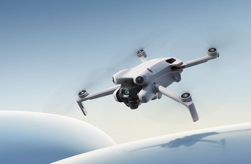
In today’s rapidly advancing technological landscape, the use of thermal drone cameras is becoming increasingly prevalent across various industries. These sophisticated devices have revolutionized the way we capture data, offering unparalleled accuracy and efficiency in surveying environments that were once challenging to navigate. By leveraging advanced thermal drone camera technology, professionals are able to enhance the precision of their surveys, yielding results that are not only more detailed but also more reliable.
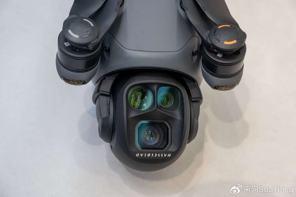
Thermal cameras, mounted on drones, are designed to detect heat signatures emitted by objects on the ground. This capability is particularly useful for applications such as agriculture, where understanding the health of crops can be vital. By identifying temperature differences, farmers can pinpoint areas suffering from drought or disease and take proactive measures to mitigate these issues.
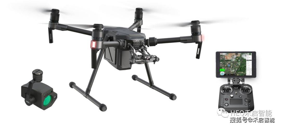
Moreover, thermal drone cameras are instrumental in power line inspections. Given the vast networks and sometimes remote locations of power lines, traditional methods of inspection can be time-consuming and costly. With drones equipped with thermal cameras, inspectors can quickly identify hot spots that indicate potential electrical failures, thus preventing outages before they occur. The construction industry also benefits immensely from this technology. Thermal imaging can help in detecting insulation defects, leaks, and even structural weaknesses in buildings. This allows construction managers to improve their project quality and ensure safety standards are met efficiently.
A significant advantage of using thermal drone cameras is their ability to operate in conditions that might otherwise be restrictive for manual surveys. This includes nighttime operations, foggy weather, or areas with substantial smoke where visibility is low. By bypassing these environmental barriers, thermal imaging provides continuous surveillance capabilities, ensuring that critical data collection is unhindered.
The versatility of these cameras extends to environmental conservation efforts as well. Conservationists deploy drones to monitor wildlife without disturbing natural habitats. By observing heat patterns, they can track animal movement and even detect unauthorized poaching activities.
Incorporating machine learning algorithms with thermal imagery enhances the accuracy of detection, enabling drones to differentiate between various heat sources autonomously
. This technological synergy greatly boosts efficiency, offering real-time data outputs for faster decision making.
Although thermal drone cameras offer myriad advantages, they still face challenges such as high acquisition costs and the need for specialized training. As the technology evolves and becomes more accessible, these obstacles are likely to diminish, paving the way for even broader adoption.
FAQs
- How do thermal drone cameras work?
- Thermal drone cameras work by detecting infrared radiation emitted by objects, converting it into visual data that displays temperature differences.
- Can thermal drone cameras be used at night?
- Yes, thermal drone cameras are ideally suited for nighttime operations as they depend on heat detection rather than visible light.
As industries continue to seek efficient solutions for data collection and analysis, thermal drone cameras emerge as a powerful tool. Their capacity to capture, analyze, and output critical information makes them indispensable for surveys where accuracy is paramount. With ongoing advancements, the future of thermal imaging in drones holds promising potential for even more precise data gathering techniques.