
Understanding Drone Technology
Drones, or UAVs (Unmanned Aerial Vehicles), have become widely used in various industries. For effective tracking, understanding the technological components of drones is essential. This includes GPS systems, onboard sensors, and communication links that aid in real-time tracking of the drone’s location.
Utilizing GPS Systems
GPS technology plays a pivotal role in tracking a drone’s precise location. By accessing GPS data, operators can monitor the flight path and navigate the drone efficiently, ensuring that the mission objectives are met without deviation.
Strategies for Tracking a Drone
Achieving success in drone tracking involves employing several techniques that can streamline the process:
- Use of Tracking Software: Advanced tracking software can provide real-time updates, enhance accuracy, and offer intuitive controls over the drone’s movements. Systems like this allow for seamless integration with various drone models and improve situational awareness.
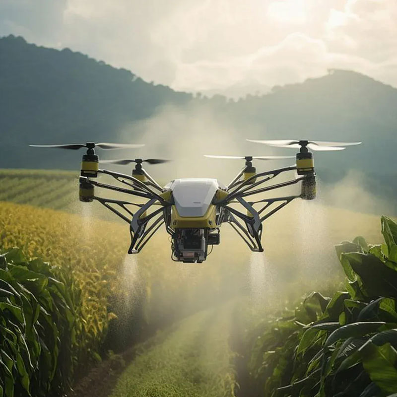
- Onboard Sensors: Drones equipped with high-resolution cameras and infrared sensors can help track their surroundings, offering both aerial views and surface details. This information is crucial for missions requiring reconnaissance and detailed area surveillance.
- Network Systems: Implementing robust network systems enhances communication between the drone and its operator. Such systems ensure data is transmitted without interruptions, which is especially critical in areas with high electromagnetic interference.
The Role of Communication Links
No matter how advanced a drone is, without reliable communication links, tracking becomes nearly impossible. Operators must ensure that both the hardware and software used for transmission are up-to-date and capable of handling large data packets without loss.

Challenges in Tracking a Drone
Tracking drones isn’t without its challenges. The rapid advancement in technology and diverse models mean that operators need continual training to stay updated on the latest trends and tools. Furthermore, external factors such as weather conditions can impact tracking accuracy.
Overcoming Environmental Factors
Environmental elements such as strong winds, rain, or even geographic obstacles like mountains can disrupt tracking signals. Implementing advanced meteorological data and geographical mapping systems ensures that obstacles are anticipated and managed.
Legal and Ethical Considerations
With the proliferation of drone technology, it’s crucial to consider the legal and ethical implications of tracking a drone. Different regions have specific regulations regarding privacy and airspace usage, and understanding these laws is imperative for anyone undertaking drone tracking.
Compliance with Regulations
Operators must ensure they are familiar with both local and international drone regulations. This includes restrictions on flight zones, privacy concerns, and data protection laws that govern the capture and transmission of video and imagery.
FAQs
What is the most effective method for tracking a drone?
Utilizing a combination of GPS technology, advanced tracking software, and reliable communication links is the most effective approach. These elements together ensure high accuracy and real-time tracking capabilities.
Can weather affect drone tracking?

Yes, weather conditions such as rain, fog, and high winds can significantly impact tracking accuracy. Operators should incorporate meteorological data to anticipate and mitigate these effects.
Are there legal restrictions on tracking drones?
Indeed, there are legal regulations that must be followed, especially regarding airspace usage and privacy concerns. Operators should always verify compliance with local and international laws before proceeding with tracking activities.