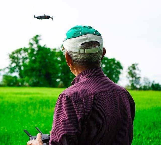
Understanding First Responder Drone Capabilities
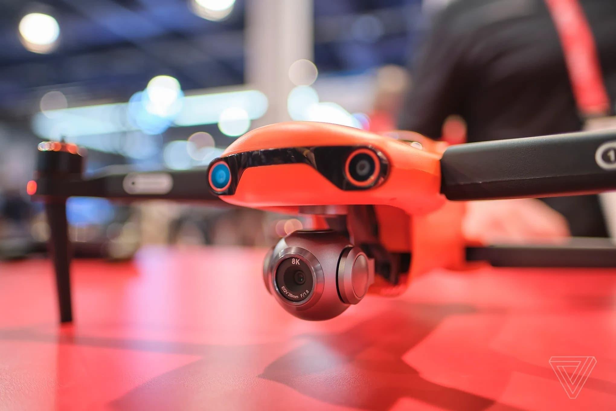
Modern first responder drone platforms come equipped with high-definition cameras, thermal imaging technology, loudspeakers, and advanced sensors. These features enable emergency teams to quickly assess hazards—such as fires, floods, or hazardous material spills—from a safe vantage point. The deployment of a first responder drone at an accident scene can relay vital information to command centers instantly, supporting better coordination and faster medical assistance. The fusion of aerial data and ground operations is a game changer, offering a level of visibility previously unattainable with traditional approaches.
Applications of First Responder Drone Technology
- Firefighting: Drones equipped with thermal cameras can detect hotspots through smoke, helping firefighters target efforts efficiently and reducing risk.
- Search and Rescue: First responder drones traverse challenging terrains—mountains, forests, disaster-affected areas—much faster than ground crews. Their cameras and geolocation features locate missing persons in record time, sometimes when every minute counts.
- Law Enforcement: For police departments, drones provide aerial surveillance during large public events, monitor traffic conditions, and deliver crucial evidence in cases such as car pursuits or hostage situations.
- Medical Emergencies: In remote or congested areas, drones deliver critical medical supplies, such as defibrillators or EpiPens, directly to victims when traditional vehicles face delays.
Transformative Impacts on Emergency Response

The emergence of first responder drone programs has led to significant reductions in incident response times. For example, cities that utilize drones as a first line of response can dispatch UAVs within seconds after an emergency call. Data collected by the drone helps first responders prepare before arriving onsite, anticipating hazards, and planning the best approach.
Moreover, first responder drone technology enhances safety for emergency personnel. By providing a bird’s-eye view, teams can avoid dangerous areas and prioritize interventions, reducing exposure to harmful environments.
Integration with Smart City Technologies
As urban environments become more digitally connected, first responder drones are being integrated with smart city infrastructure. Automated drone docking stations, remote piloting, and seamless communications between UAVs and emergency networks allow consistent coverage and instantaneous deployment. Data streams provide ongoing surveillance in high-risk zones like industrial parks, coastal areas, or heavily populated districts. The synergy between drones, IoT sensors, and AI-powered analysis tools delivers predictive capabilities—spotting risks before they escalate.
Challenges and Considerations
Though first responder drone technology offers remarkable benefits, its adoption involves overcoming technical, legal, and operational challenges. Privacy concerns are paramount: drone footage of emergencies can capture civilian data. Regulations about airspace, pilot certification, and data handling vary by region, making cross-jurisdictional deployments complex. Additionally, reliability in adverse weather, battery life, and cybersecurity remain ongoing areas of innovation and scrutiny.
To ensure ethical use, many agencies develop strict operating frameworks and regularly consult with community stakeholders. Training programs for first responders encompass drone piloting, data interpretation, and legal compliance to foster responsible integration of UAVs in emergency scenarios.
Future Innovations in First Responder Drone Technology
Next-generation first responder drones are expected to incorporate artificial intelligence for autonomous flight, enhanced payload capacity, and seamless connectivity with 5G networks. Swarm technology may allow multiple drones to collaborate on large-scale incidents—flood rescue, wildfire mapping, or multi-site medical supply drops. As these advances converge, the frontier of emergency response will be continually redefined. Real-world deployments already demonstrate drones not just as flying cameras, but as vital extensions of emergency teams.
Optimizing First Responder Drones for SEO and User Engagement
To maximize discoverability and user education, it’s essential to highlight the diverse applications of first responder drone technology throughout digital content. Recognizing the trending nature of UAVs in emergency management contexts, leveraging variations of keywords—such as “emergency drone deployment,” “public safety UAVs,” and “unmanned rescue technology”—fosters higher visibility for both readers and search engines. Rich, descriptive content serves dual purposes: engaging audiences and strengthening site authority on emerging safety solutions.
Conclusion
The transformative potential of first responder drone technology is no longer theoretical—it’s demonstrably impacting real-world emergency outcomes. Through continuous innovation, drones will become even smarter, safer, and more indispensable to first responder units globally. The fusion of aerial intelligence with ground expertise is creating emergency networks capable of responding faster, more effectively, and with greater foresight than ever before.
Frequently Asked Questions
- What is a first responder drone?
- A first responder drone is an unmanned aerial vehicle used by emergency services to survey, assess, and assist in crisis situations. Equipped with cameras, sensors, and communicative systems, these drones offer rapid situational awareness and logistical support during incidents.
- How do first responder drones improve emergency response times?
- By deploying drones minutes before human teams can arrive, emergency services gain immediate aerial insights, allowing faster resource allocation and better-informed interventions. This leads to shortened response cycles and potentially increased survival rates.
- Are there regulations governing the use of first responder drones?
- Yes. Drone operations in public safety are regulated to safeguard privacy, manage airspace, and ensure operator competency. Rules differ by country, but most require licenses, adherence to flight boundaries, and responsible data handling.