
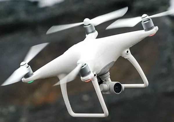
New York City, renowned for its iconic skyline and bustling streets, has seen a remarkable increase in the utilization of drones in recent years. Drones, or unmanned aerial vehicles (UAVs), have revolutionized the urban landscape, providing new perspectives and capabilities in a city famous for its towering buildings and busy life. The reasons behind the surge in drone usage are multifaceted, ranging from commercial applications to recreational activities, making their presence in NYC undeniable.
Commercial Applications of Drones
Businesses in NYC have tapped into the potential of drones to enhance operations across various industries. For instance, real estate companies use drones to capture breathtaking aerial views of properties, providing potential buyers with a unique perspective. Construction firms rely on drones for site surveillance and progress tracking, which significantly reduces risks and improves project efficiency. Furthermore, drones play a critical role in the film and advertising industries, offering filmmakers the opportunity to shoot scenes with stunning aerial cinematography and cover vast areas seamlessly.
Improved Efficiency in Emergency Services
The impact of drones extends to emergency services within NYC, where they are deployed during critical situations. In search and rescue operations, drones allow teams to cover large areas quickly and efficiently, identifying those in distress with high-resolution cameras and thermal imaging tools. Similarly, law enforcement agencies use drones for surveillance during public events and monitoring traffic conditions, aiding them in managing the city’s safety and security with advanced technological support.
The Rise of Recreational Drone Usage
Beyond commercial and public services, recreational drone flying has gained popularity among New Yorkers. Hobbyists enjoy capturing the beauty of the city from above, sharing on social media platforms and drone community forums. This hobby provides a creative outlet, enabling enthusiasts to explore their passion for photography and videography while adhering to FAA regulations and local laws that ensure safe and responsible drone operations.
- Compliance with NYC’s Regulations
- Drone Pilots and Their Responsibilities
- Where to Fly in NYC
Drone pilots in NYC must comply with strict regulations to ensure everyone’s safety. Flight paths need clearance from the FAA, and no-fly zones include areas around airports and sensitive infrastructures. These guidelines are crucial for preserving public safety and minimizing potential hazards associated with flying drones in a densely populated metropolis.
Innovative Technological Advancements
With technological advancements propelling the drone industry forward, companies continually develop sophisticated drone models equipped with cutting-edge features like obstacle detection, AI capabilities, and extended flight ranges. New Yorkers can expect these advancements to further integrate drones into daily life and business operations, expanding their functionality and utility.
Economic Implications and Job Creation
The growing use of drones has significant economic implications for NYC. It fosters job creation, with opportunities ranging from drone manufacturing and software development to specialized services like drone pilot training and maintenance. The rise in drone-related employment highlights the importance of nurturing technological talent, promising a stimulating landscape of innovation and growth.
FAQs about Drones in NYC
Q: Can drones be flown anywhere in NYC?
A: No, drones must adhere to strict regulations, avoiding restricted areas like airports and designated no-fly zones while gaining proper FAA clearance.
Q: What are the benefits of using drones in real estate?
A: Drones provide unique aerial views of properties, enhancing marketing strategies and offering potential buyers a comprehensive understanding of locations.
Q: How do drones assist in emergency situations?
A: Drones improve the efficiency of search and rescue operations by covering large areas quickly and providing real-time surveillance and imagery.