
Explore the Advantages of Drone Surveying for Mapping Applications
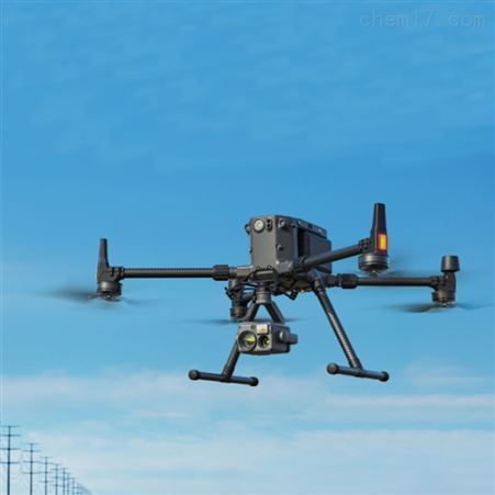
In recent years, drone surveying has emerged as a transformative tool in the field of mapping. Offering precision, speed, and cost-efficiency, drones are redefining how geographical data is collected. Whether you’re an engineer, architect, or planner, incorporating drones into your surveying arsenal can dramatically enhance your workflows.

The Precision and Efficiency of Drone Surveys
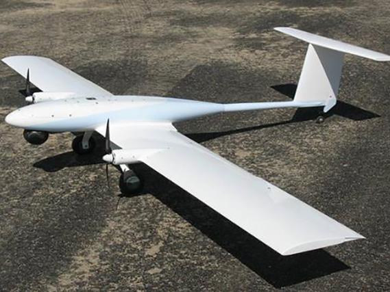
Drones equipped with high-resolution cameras and LiDAR technology can capture intricate details from above. This capability allows for the generation of highly accurate topographical maps and 3D models. Traditional surveying methods often entail considerable time and manpower, but drones can cover large terrains swiftly, producing reliable results in hours rather than days. When optimal drone surveying techniques are employed, the level of detail obtainable is remarkable, aiding in precise planning and decision-making.
Advanced Data Collection Methods
The integration of advanced data processing software with drones enables real-time analysis. From identifying potential construction sites to assessing environmental impacts, the utilization of aerial data can be incredibly comprehensive. Moreover, the ability to customize drone flight paths ensures that specific areas of interest receive focused attention, maximizing drone surveying efficiency.
Cost-Effective Solutions
Drones represent a cost-effective solution to data collection, often requiring less equipment and fewer personnel than traditional methods. This reduction in overhead costs makes drone surveying attractive to small and large-scale operations alike. The initial investment in drone technology is quickly offset by the savings garnered through improved surveying efficiency and reduced labor costs.
Applications Across Various Domains
Drone surveying is versatile, finding applications in sectors such as agriculture, construction, and environmental monitoring. In agriculture, drones can monitor crop health through NDVI (Normalized Difference Vegetation Index) imaging, enabling farmers to make informed decisions regarding irrigation and fertilization. In construction, drones provide accurate measurements for land development and post-completion inspections, ensuring projects stay on track. Environmental agencies utilize drones to track wildlife, monitor environmental changes, and respond to natural disasters.
The Role of Regulation
Compliance with aviation regulations is crucial when employing drones for surveying purposes. Understanding airspace restrictions and obtaining necessary clearances are essential steps to prevent legal pitfalls. As drone technology evolves, global regulatory frameworks are adapting to accommodate its integration into commercial practices.
The Future of Mapping with Drones
The potential for drone surveying continues to grow. With technological advancements, drones are becoming more sophisticated, offering even greater capabilities. Innovations in AI and machine learning are poised to further enhance data processing and analysis, making drones indispensable for accurate and efficient mapping.
Frequently Asked Questions
-
What is the accuracy level of drone surveys?
Drone surveys can achieve accuracy levels within centimeters, largely depending on the equipment used and conditions during data collection.
-
How do drones compare to traditional surveying methods?
Drones offer faster data collection, reduced costs, and comprehensive mapping capabilities, surpassing traditional methods in efficiency and detail.
-
Are there legal restrictions to using drones for surveying?
Yes, adhering to aviation regulations is mandatory. Operators must understand local laws regarding airspace and obtain relevant permits.
Incorporating drone surveying into your mapping initiatives can unlock unprecedented advantages, propelling your projects to new heights of success and efficiency.