
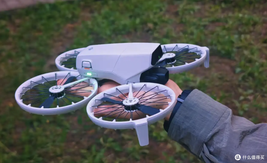
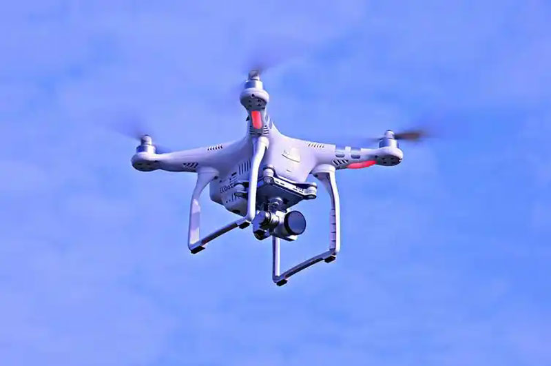
Introducing advancements in drone technology, especially their integration with GPS and cameras, is reshaping how industries operate. Drones equipped with GPS and high-resolution cameras are becoming indispensable tools across various sectors. From precision agriculture to wildlife monitoring, these drones provide real-time data and imagery, enhancing decision-making processes.
Benefits of GPS-Enabled Drones
With GPS integration, drones can navigate more accurately and maintain stable flight paths. This technology allows for autonomous flights and optimized route planning, essential for tasks like surveying large areas and conducting inspections.
Precision
GPS systems provide centimeter-level accuracy, crucial for applications that require detailed mapping and analysis, such as construction and land management.
Automation
With GPS, drones can follow pre-defined routes, eliminating human error and improving efficiency. This automation enables scalable operations and repeatable missions.
Enhancements through Camera Systems
Camera technology incorporated into drones has significantly advanced, offering capabilities like HD imagery, infrared vision, and 360-degree panoramic shots.
High-Resolution Imaging
Modern drone cameras capture clear and detailed images that can be used for crop health assessment, real estate marketing, and filmmaking. These cameras are equipped to handle various lighting conditions, ensuring quality output.
Infrared Technology
Infrared cameras allow drones to detect thermal variations, useful in energy audits and wildlife tracking. They provide insights that are invisible to the naked eye, enhancing analytical capabilities.
Surveillance and Security
Drones with GPS and cameras are invaluable for security purposes, monitoring properties or public areas continuously and efficiently.
Industry Applications
The integration of GPS and cameras in drones benefits several sectors. In agriculture, drones facilitate crop monitoring and pest control by providing precise location data and imagery. In real estate, they offer breathtaking aerial views of properties, attracting potential buyers.
Environmental Conservation
 Equipped with advanced cameras, drones assist in monitoring wildlife and detecting changes in habitats, promoting conservation efforts.
Emergency Response
During disasters, drones provide first responders with live footage to assess situations quickly, directing resources where they are most needed.
Frequently Asked Questions
What does GPS do in a drone?
GPS systems in drones help in navigation, maintaining accurate flight paths, and enabling autonomous operations.
Why are cameras on drones important?
Cameras capture high-resolution images and video, allowing for detailed inspections, surveillance, and creative filming.
How are drones used in agriculture?
Drones are used for crop monitoring, pest control, and mapping large fields, providing farmers with precise data to improve yields.