
In recent years, the emergence of drone technology has brought about a significant transformation in the way property surveys are conducted. The utilization of drones in real estate assessments has become increasingly popular, offering a plethora of advantages over traditional methods. Known for their efficiency and accuracy, drone property surveys are reshaping the landscape of real estate evaluation.
The Advantages of Drone Property Surveys
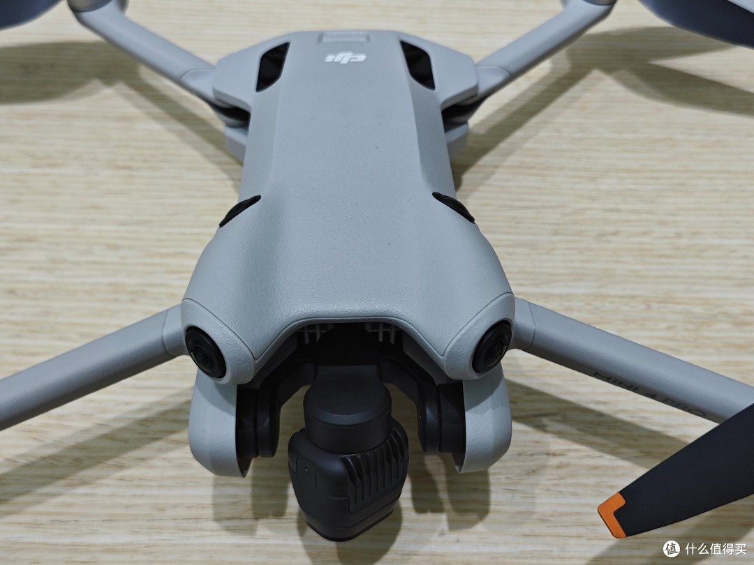
The concept of using drones for property surveys is rooted in the ability to capture aerial images and data swiftly and precisely. This reduces the time and manpower required for surveys, providing an unparalleled depth of insight. High-resolution cameras on drones enable the collection of detailed imagery that is essential for accurate property evaluations.
These technological advancements allow for a comprehensive examination of land features, boundaries, and any potential discrepancies. The integration of drones ensures that real estate professionals can conduct detailed inspections without the need for extensive physical presence on-site.
Efficiency and Cost-Effectiveness: Employing drones for property assessments reduces costs significantly. The lowered requirement for extensive manual labor means that real estate professionals can allocate resources more efficiently, driving down overall expenditure and increasing the speed of assessments.
Applications in Real Estate
Drone property surveys are becoming crucial in various real estate applications, including land development, construction, and property management. Drones facilitate boundary analysis, identifying illegal encroachments, and assessing environmental factors that might impact property value.
- Land Development: Drones provide vital data on topography and zoning, aiding developers in making informed decisions.
- Construction Monitoring: Regular drone surveys ensure projects are progressing as planned and within safety regulations.
- Property Acquisitions: Accurate surveys help investors evaluate potential property investments comprehensively.
Improving Accuracy with Drone Technology
Accuracy in real estate assessment is paramount, and drones offer precision that was previously unattainable. Equipped with GPS technology, drones map properties with precision down to the centimeter, ensuring no detail is overlooked.
The capability to produce 3D models and maps of the surveyed area enables a deeper understanding of property layout and structure. This level of detail aids in the accurate calculation of land value, property taxes, and even insurance premiums.
Environmental Impact and Sustainability
Drone property surveys contribute significantly to environmental sustainability. By minimizing the need for extensive on-ground activity, they limit environmental disturbances and reduce the carbon footprint of property assessments. This green approach is appealing in today’s environmentally conscious market.
Common Questions
What are the limitations of drone property surveys?
Though drones offer numerous benefits, there are certain limitations such as weather dependencies and regulatory restrictions that need to be considered. Adverse weather conditions can impede the functionality of drones, while local regulations may limit where and how drones can operate.
Are drone surveys more expensive than traditional methods?
Drones often reduce overall costs by decreasing the need for manual labor and quickening the survey process. However, initial setup costs for drone equipment can be substantial.
Can drones be used for all types of properties?
While drones are versatile, their use may be restricted in highly populated urban areas or near sensitive structures due to privacy concerns and airspace regulations.