
In recent years, drone survey technology has revolutionized a multitude of industries, offering a bird’s-eye view that delivers a wealth of information quickly and efficiently. A drone survey, a method of gathering data through aerial images, has become an indispensable tool for many businesses and professionals. By unlocking the potential of drone survey techniques, we can greatly enhance our understanding and assessment of different environments.
The Evolution of Drone Surveys
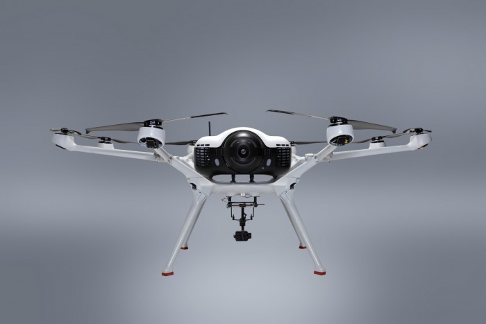
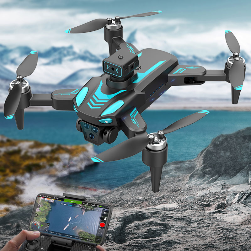
Drones have changed the landscape of surveying with their cutting-edge technology and flexibility. Initially designed for military use, drones have found their way into civilian applications, providing incredible benefits to industries such as agriculture, construction, real estate, and environmental management. These unmanned aerial vehicles (UAVs) come equipped with advanced imaging capabilities that facilitate precise data collection, making them an ideal choice for complex survey tasks.
Enhanced Efficiency and Accuracy
One of the remarkable advantages of using drone surveys is their capacity to perform tasks with enhanced efficiency and accuracy. Traditional survey methods often require significant time and manpower, but drones dramatically reduce both. With their capability to access hard-to-reach areas, drones collect accurate data in a fraction of the time required by ground-based methods. The high-resolution imagery and data drones provide eliminate much of the guesswork associated with manual surveys, giving stakeholders reliable insights for decision-making.
Applications in Various Industries
- Construction:
 In the construction industry, drones are used to monitor progress, conduct land surveys, and inspect structures. They offer real-time data that assists project managers in making informed decisions, reducing the likelihood of costly mistakes.
 - Agriculture: Farmers use drone surveys to assess crop health, monitor irrigation systems, and manage livestock. By providing detailed aerial views, drones help optimize agricultural practices, boost yields, and ensure sustainable resource management.
- Real Estate: For real estate professionals, drones offer a unique perspective that enhances property listings. Aerial tours and comprehensive property maps attract potential buyers by providing them with a thorough understanding of the layout and surroundings.
Cost-Effectiveness
Drone surveys are often more cost-effective compared to traditional surveying methods. By minimizing the need for extensive manpower and reducing the time spent on data collection, businesses can significantly cut costs. Moreover, the enhanced accuracy and detail provided by drones can prevent expensive errors in project execution, further contributing to overall cost savings.
Safety and Accessibility
Drones enhance safety by performing risky surveys without putting personnel in danger. Surveys of hazardous terrains, high altitudes, or structurally unsound areas can be conducted from a safe distance. This ability not only protects human lives but also ensures thorough data collection without the risk of compromising staff welfare.

Challenges and Considerations
While the benefits of drone survey techniques are abundant, there are challenges and considerations that must be addressed. Regulatory constraints, such as airspace restrictions and licensing requirements, should be thoroughly understood before deploying drones. Additionally, technical issues, such as battery life and weather conditions, can impact the effectiveness of drone operations. However, ongoing advancements in technology and policy are continually improving the reliability and scope of drone surveys.
Future Prospects
As technology advances, the potential for drone surveys will continue to expand. Integration with technologies such as LiDAR and AI can enhance their capabilities, providing even deeper insights into surveyed areas. The future of drones promises increased automation, enhanced data analytics, and wider applicability across various sectors.
FAQs About Drone Surveys
- What are the legal requirements for operating drones?
- Legal requirements vary by region, but generally, operators must obtain a specific license or certification, abide by airspace regulations, and adhere to privacy laws. It’s essential to research and comply with the local regulations before conducting drone surveys.
- Can drones operate in all weather conditions?
- While drones are quite versatile, their operation can be affected by severe weather conditions such as high winds, rain, or fog. It’s crucial for operators to plan missions considering the weather forecast to ensure optimal data collection and equipment safety.
- How accurate are drone survey results?
- Drone surveys offer high accuracy levels, often within a few centimeters. However, accuracy can depend on factors like the type of drone, camera quality, and survey area. Using advanced mapping software and calibration techniques can enhance accuracy further.