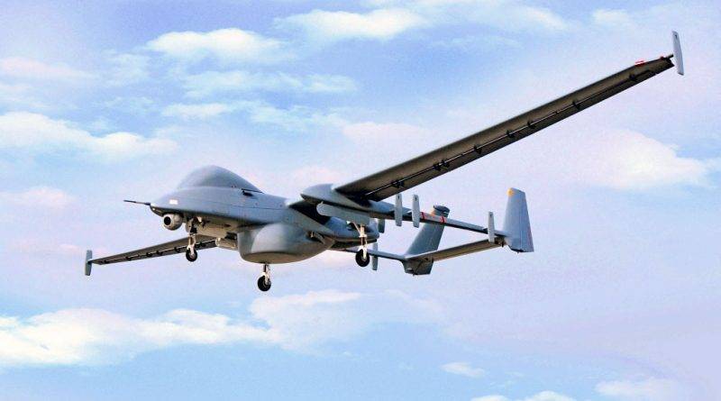
Explore New Dimensions with State-of-the-Art Drone Maps
In the realm of modern technology, drone maps have revolutionized the way we perceive and understand our surroundings. With their ability to capture detailed and dynamic imagery from above, drones have become indispensable tools in numerous fields, including urban planning, environmental monitoring, and disaster management.
Drone mapping is particularly valuable as it provides a bird’s-eye view of areas that may be difficult to access or visualize from the ground. From dense forests to sprawling cityscapes, drones effortlessly provide high-resolution maps that can be used for a variety of analyses.
Key Benefits of Drone Maps
The advantages of utilizing drone maps are vast and varied. For instance, in agriculture, farmers can employ these maps to monitor the health of crops, detect pest infestations, and optimize irrigation strategies. The precision offered by drone imagery enables better decision-making, leading to increased yield and efficiency.
Environmental organizations use drone maps to track changes in habitats, wildlife movement, and the effects of climate change on different ecosystems. These maps assist in developing strategies for conservation and sustainable management.
Moreover, in the field of real estate, drone mapping allows agents to effectively showcase properties and surrounding areas, providing potential buyers with unique insights with stunning visuals. The use of maps elevates marketing efforts and gives properties a competitive edge.

The Future of Drone Mapping
As technology advances, drone maps are expected to become even more intuitive and interactive. Incorporating AI and machine learning into drones could lead to autonomous mapping systems that offer real-time updates and analyses, further enhancing their practicality and accessibility.
Furthermore, with the increasing availability of drones and the decreasing cost of high-quality equipment, more industries will be able to integrate drone mapping into their standard practices.
