Traditionally, mapping a property required labor-intensive processes and significant time investment. Surveyors had to physically visit the site, using bulky equipment to take measurements while contending with terrain challenges. However, drones offer a faster and more accurate method for capturing data without the need for physical presence.
The Technological Innovations in Drone Home Mapping
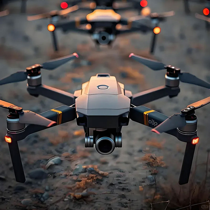
Drones utilize state-of-the-art technology such as LiDAR and photogrammetry. LiDAR, which stands for Light Detection and Ranging, uses laser pulses to measure distances between the drone and the surfaces it scans. This technology is incredibly accurate, even in dense vegetation and varied terrain. Photogrammetry, on the other hand, involves capturing several overlapping photos to create high-resolution 3D maps. These techniques allow drones to generate precise maps that can be used for various applications, from urban planning to real estate marketing.
The Impact on Real Estate and Urban Planning
The introduction of drones in home mapping has had a significant impact on the real estate market. Real estate agents can now provide potential buyers with immersive virtual tours of properties before they even step foot on the premises. This not only saves time but also broadens the market reach by attracting international buyers. Meanwhile, urban planners use these detailed maps for designing infrastructure projects like roads and public facilities, ensuring effective use of space.
Advantages of Drones in Home Mapping
One of the primary benefits of drones is their ability to cover large areas quickly and efficiently. They offer access to hard-to-reach locations, making it easier to map properties that are otherwise challenging to survey. Additionally, the accuracy and detail provided by drones reduce the likelihood of errors in planning and development projects.
Cost Efficiency
Incorporating drones into mapping workflows is cost-effective. The ability to gather data rapidly reduces the labor costs associated with traditional surveying methods. Furthermore, the high-resolution imagery and precise data analysis eliminate the need for repeated site visits, saving both time and resources.
Challenges and Considerations
Despite the advantages, there are challenges associated with using drones for home mapping. Regulatory restrictions can limit drone flights in certain areas, and weather conditions such as high winds can affect their operation. Also, there is a learning curve involved in handling drone technology, necessitating proper training for operators to maximize their potential.
The Future of Home Mapping with Drones
The future looks promising as drone technology continues to evolve. Innovations such as artificial intelligence and machine learning are being integrated into drone systems, enabling even more autonomous operations and data processing capabilities. As these technologies mature, they will likely further enhance the efficiency and accuracy of home mapping.
Frequently Asked Questions
- How accurate are drones in mapping homes?
Drones employ sophisticated technologies, such as LiDAR and photogrammetry, providing highly accurate data that surpass traditional surveying methods.
- Are there any legal restrictions on using drones for mapping?
Yes, drone use is subject to regulations that vary by region. Operators must adhere to these rules to ensure compliance and maintain safety standards.