
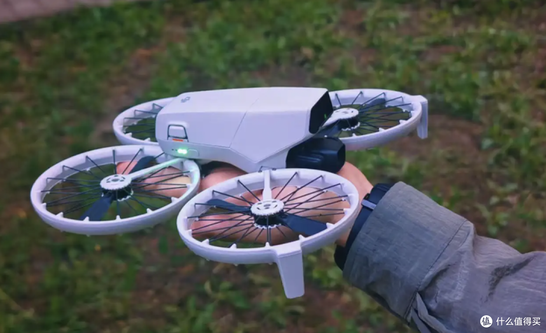
In the rapidly evolving world of technology, Drone Map technology is gaining popularity as a pivotal tool in both personal and professional domains. This innovative technology serves multiple purposes from delivering awe-inspiring landscapes to enriching geographical data. As we explore this fascinating world, let us discuss some major applications and advantages associated with Drone Maps.
Among the numerous benefits, one of the primary advantages of using drone mapping technology is its ability to capture high-resolution images and data from diverse environments. Whether it’s a bustling cityscape or a serene countryside, drones can efficiently map a wide range of terrains. For urban planning, these maps are invaluable as they provide comprehensive insights and data that assist planners in making informed decisions.
Revolutionizing Urban and Rural Landscapes
Drone map technology has opened up new possibilities for environmental monitoring and conservation. By providing precise and detailed maps, drones aid scientists in tracking changes in ecosystems, monitoring wildlife habitats, and assessing damage due to natural disasters. These maps not only enhance accuracy but also provide a cost-effective solution to traditional methods which are often labor-intensive.
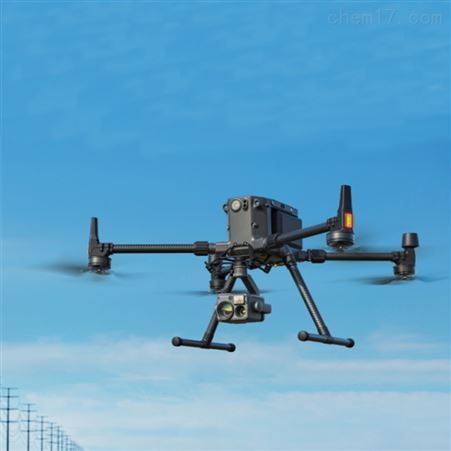
Security and surveillance are other domains where drone maps play a significant role. From monitoring large gatherings to overseeing critical infrastructures like power plants, drones offer a bird’s eye view that is crucial for maintaining safety and security. With real-time data and alerts, authorities can respond more swiftly to potential threats and incidents.
Applications in Agriculture and Infrastructure
Agriculture is witnessing a transformation with the integration of drone technology. Farmers now employ drones to map and analyze their fields in real-time, assessing crop health and optimizing irrigation systems. This reduces time and labor while enhancing yield productivity. Similarly, in infrastructure and construction, drones aid in site inspection, progress monitoring, and overall project management. The precise and detailed maps enhance accuracy, speed up decision-making, and reduce risks associated with construction projects.
Moreover, the entertainment industry also benefits from drone maps. Filmmakers and photographers utilize drones to capture breathtaking aerial shots that were once impossible to achieve without significant expense and logistical challenges. With drones, creative professionals can easily scan locations and plan complex shoots seamlessly.
Drone Maps: The Future of Navigation
As UAS technology continues to evolve, the future of navigation is set to experience remarkable transformations driven by drone maps. More accessible and affordable to every user, these maps help navigate through unchartered territories like never before.
As drones become more advanced and ubiquitous, they promise to enhance navigation systems for both terrestrial and aerial vehicles. Such advancements could herald a new era where drone maps guide autonomous vehicles in delivering packages, people, or even conducting rescue missions in hard-to-reach areas.
These breakthroughs indicate that our relationship with space is redefining itself and changing how we perceive exploration, conservation, and connectivity.
FAQ
What are the key benefits of using drone map technology?
Drone maps offer high-resolution imagery, real-time data, and comprehensive insights, making them crucial for urban planning, surveillance, agriculture, and more.
Can drone maps be used in emergencies?
Yes, drone maps are vital in emergencies as they provide real-time data that helps in quick decision-making and response during disasters.
How are drone maps different from traditional maps?
Drone maps provide dynamic, real-time data which is more accurate and detailed compared to traditional static maps, offering enhanced insights and efficiency.