
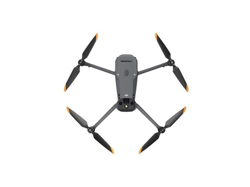
If you are venturing into the realm of aerial photography, a drone with camera GPS is an indispensable tool that offers advanced technology to enhance your filming and surveillance capabilities. Modern drones equipped with these features not only provide breathtaking views from above but also offer stability, accuracy, and ease of navigation. In this comprehensive guide, we delve into why these drones stand out and what features you should consider when investing in one.
Introduction to Drones with Camera and GPS
Drone technology has seen remarkable growth in recent years. Initially, drones were developed for military purposes, but they have since transitioned into commercial, recreational, and even professional tools. The combination of a high-quality camera with a GPS system on drones allows for precise location tracking, auto-pilot features, return-to-home functions, and even scene plotting for detailed shooting.
The Advantages of GPS in Drone Technology
- Enhanced Stability: GPS allows drones to maintain a stable position even in adverse weather conditions. This is critical for capturing still images and smooth video footage.
- Autonomous Flight: With pre-programmed GPS waypoints, your drone can fly autonomously. This is particularly useful for mapping and surveying large areas without manual intervention.
- Return-to-Home Functionality: If the drone loses connection with the controller or runs low on battery, the GPS will guide it back to its original takeoff point.
Camera Quality
Drones equipped with high-resolution cameras are ideal for capturing stunning panoramas and high-definition videos. Look for drones that provide adjustable camera angles, ensuring you can capture the perfect shot every time. Moreover, features such as HDR and image stabilization are vital for professional-quality results.
Top Features to Look Out For
- Flight Time: Opt for drones with extended battery life. Some models offer up to 30 minutes of flight per charge, giving you ample time to capture beautiful visuals.
- Obstacle Detection: Advanced drones come equipped with sensors to detect and avoid obstacles, ensuring safe and accident-free flight paths.
- User-Friendly Interface: Many drones come with intuitive apps that offer easy controls, GPS mapping, and editing features for quick and efficient post-processing.
The Impact of Drone GPS on Photography and Videography
Combining GPS with a high-end camera transforms the art of photography. It allows creators to capture images from unique perspectives, adding depth and dimension that ground-based photography cannot achieve. Whether you’re filming a mountain range or a bustling cityscape, the GPS capability ensures you can precisely track and repeat your favorite shots.
FAQs on Camera Drone GPS Systems
Q1: How does GPS improve flight accuracy?
A: GPS enables precise positioning, which helps in maintaining stable flights, even in windy conditions, improving the quality of aerial footage.
Q2: Can all drones return to the point of takeoff?
A: Most drones with GPS have a return-to-home function, but it’s essential to verify this feature before purchasing.
Q3: Is it difficult to operate a drone with camera GPS?
A: Modern drones come with beginner-friendly modes and tutorials, making them accessible for both amateurs and professionals.