
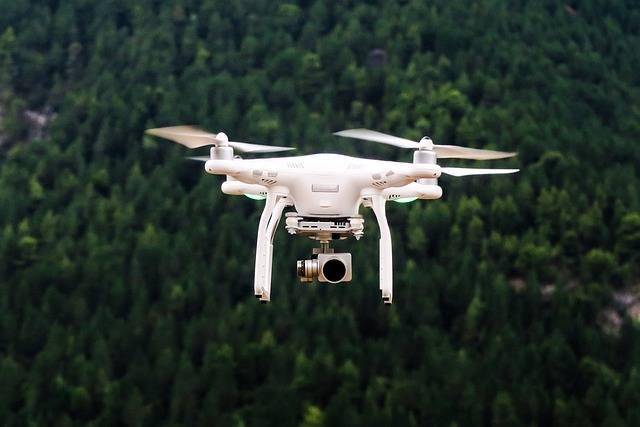
Harnessing the Potential of Surveyor Drones for Insightful Data Collection
Surveyor drones represent a technological leap forward in the realm of data collection and geographical analysis. These advanced devices soar through the skies, meticulously mapping terrains with precision that surpasses traditional surveying methods. Employing latest imaging technology, surveyor drones can capture high-resolution images and videos, enabling surveyors to create detailed 3D maps and models that are indispensable for construction planning, environmental monitoring, and resource management.
Innovative Applications of Surveyor Drones
Surveyor drones have found utility in various industries due to their versatile capabilities. In construction, these drones can assess sites remotely, offering exhaustive land surveys without the need for physical presence, thus minimizing human risk and effort. Likewise, agricultural fields benefit as drones conduct aerial inspections to surveil crop health, identify irrigation issues, and track land usage patterns. Environmental scientists deploy surveyor drones for ecosystem studies, tracking wildlife and assessing the impact of climate change.
Technological Features That Enhance Surveyor Drone Utility
Equipped with top-tier GPS and autonomous flight capabilities, surveyor drones navigate challenging terrains effortlessly, providing accurate and up-to-date geographical data. The integration of AI ensures these drones can efficiently process massive amounts of data, generating actionable insights swiftly. Moreover, their ability to operate in various weather conditions makes them indispensable tools for timely data collection without disruptions.
Implementing Surveyor Drones in Modern Projects
Moving towards integrating surveyor drones is not only a matter of adopting innovation but also staying competitive in today’s technology-driven market. Organizations should consider investing in training for operating these drones and managing the data they produce, ensuring seamless implementation and maximum benefits.