
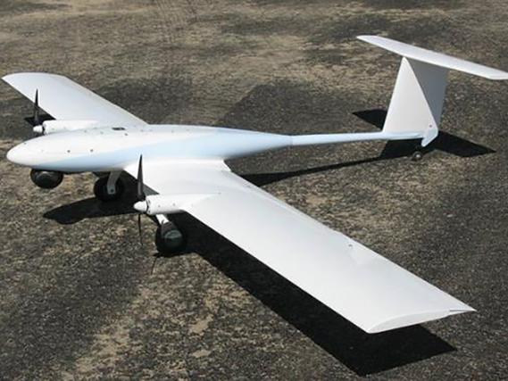
Understanding Lidar Drone Technology
Lidar drones are equipped with specialized sensors that emit laser beams onto surfaces to map them with accuracy that was once unattainable through traditional methods. As the laser light returns after hitting an object, the sensor calculates the distance based on the time taken for the light to return, thus constructing an intricate three-dimensional model of the area surveyed. This methodology offers unparalleled data quality, which facilitates better decision-making and strategic planning.
The Role in Agriculture
Lidar drones have become a vital tool in agriculture, allowing farmers to monitor crop health, assess soil conditions, and even predict yields. By using precise elevation models and analyzing plant canopy structures, these drones can provide critical information that helps in water management, fertilizer use, and pest control. This ensures more efficient farming practices, enhancing productivity while minimizing environmental impact.
Forestry and Environmental Conservation
Lidar drone technology plays a significant role in forestry and conservation efforts. By accurately mapping forest terrains, including tree heights and density, it’s possible for environmentalists to monitor deforestation and illegal logging activities effectively. Moreover, these models aid in understanding biodiversity and planning for conservation operations by providing detailed habitat maps.
Impact on Archaeology
In archaeology, Lidar drones are uncovering hidden structures and relics without disturbing the ground. The ability to penetrate foliage and soil makes it feasible to discover sites that would otherwise remain obscured. This technology is invaluable for preserving historical sites and conducting archaeological surveys more efficiently than ever before.
Urban Planning and Development
Lidar drones are instrumental in urban planning, offering high-resolution data that supports the development of sustainable cities. Planners and engineers rely on these maps to design infrastructure projects, manage transportation networks, and plan for urban growth strategically. This technology enables the visualization of terrain changes and the impacts of land development, aiding in smarter city planning.
Future Prospects
The future of Lidar drone technology is promising, with potential advancements in AI and machine learning poised to enhance its capabilities further. These drones may soon be able to autonomously analyze landscapes and make real-time data-driven decisions, opening new doors in precision mapping and surveillance.
Frequently Asked Questions
What industries benefit most from Lidar drones? Industries such as agriculture, forestry, archaeology, and urban planning benefit immensely from Lidar drone technology due to its precise mapping capabilities and efficiency in data collection.
How does Lidar drone technology enhance environmental conservation? Lidar drones provide accurate data on landscapes, allowing for effective monitoring of environmental changes and illegal activities, thus supporting conservation efforts.
What are the future advancements expected in Lidar drone technology? Future advancements could include enhanced autonomous functionalities powered by AI and machine learning, offering more sophisticated data analytics and real-time decision-making abilities.