
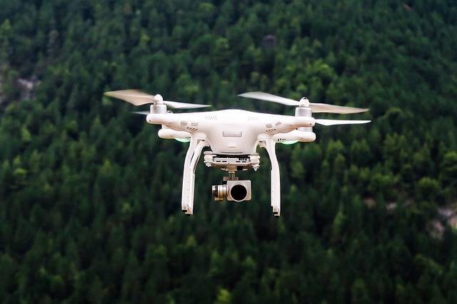
Understanding Drone Scanner Technology
The advent of drone scanners combines the agility and aerial advantages of drones with cutting-edge scanning capabilities, such as LiDAR (Light Detection and Ranging) and high-resolution cameras. This synergy allows for comprehensive data collection across vast expanses that were once difficult to navigate. Importantly, drone scanners excel in acquiring detailed topographical data, creating precise 3D models, and capturing real-time imagery, which aligns perfectly with the evolving needs of industries reliant on geographical analysis.
Benefits of Drone Scanners in Surveying
- Accuracy: Drone scanners produce highly accurate results, significantly reducing human error common in traditional surveying methods.
- Cost-Effectiveness: Utilizing drones for surveying minimizes the need for extensive manpower and can cover larger areas in reduced time frames, ultimately decreasing operational costs.
- Safety: With the ability to access hard-to-reach or dangerous areas, drone scanners mitigate the risks human surveyors face, enhancing safety during data collection.
The global positioning system (GPS) integration within drone technology further enhances the precision of data collected, allowing surveyors to pinpoint exact locations with minimal deviation. This feature is particularly beneficial in sectors such as construction, environmental science, and agriculture where precision is paramount.
Applications of Drone Scanning Technology
The utility of drone scanners spans a multitude of domains. In construction, they facilitate the monitoring of site progress, offer exact measurements of structures, and help in identifying potential structural issues. For environmental studies, drone scanners provide crucial data for assessing natural habitat changes, mapping water bodies, and tracking wildlife movements. Meanwhile, in agriculture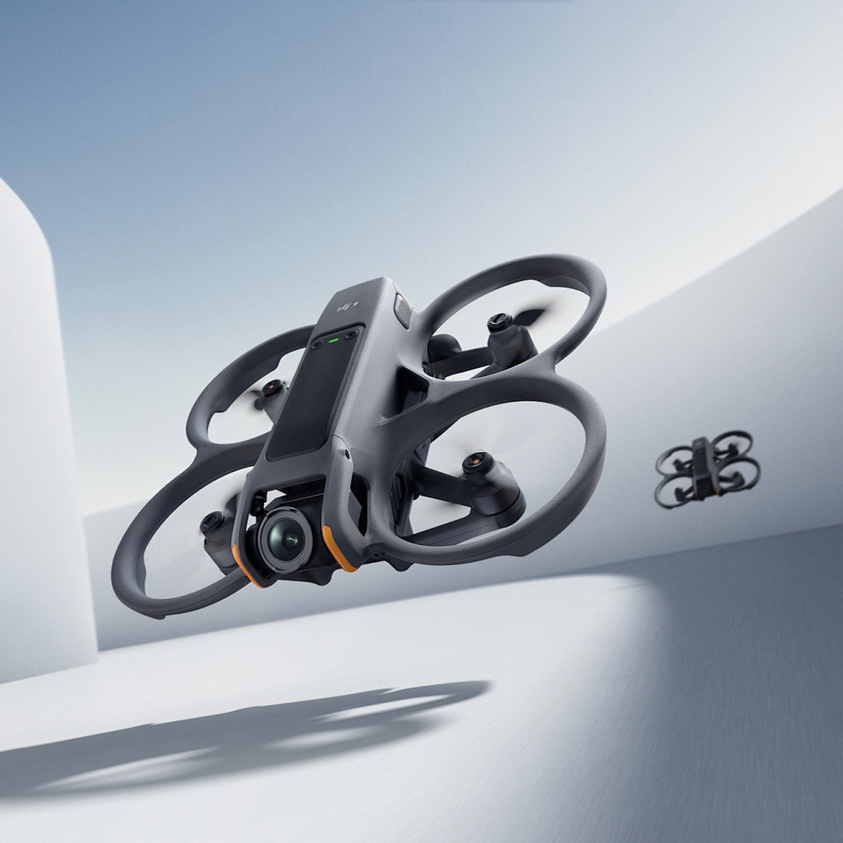 , these drones aid in surveying crops and identifying irrigation issues, ensuring healthier yields.
Recent Innovations and Future Prospects
Recent advancements have focused on enhancing drone battery life, expanding range, and improving payload capabilities. Researchers are also exploring the integration of AI with drone scanners to automate the data analysis process. This would allow for quicker decision-making and more efficient data processing, further solidifying drones as an indispensable tool in various industries.
As regulatory frameworks surrounding drone use continue to evolve, we can anticipate broader adoption and innovation in this field. Governments and private enterprises are recognizing the potential of drone technology to transform infrastructure and environmental management.
Frequently Asked Questions (FAQ)
- Q: How accurate are drone scanners compared to traditional surveying methods?
- A: Drone scanners can achieve accuracy levels of a few centimeters, surpassing many traditional techniques due to their advanced technology.
- Q: What types of environments can drones operate in?
- A: Drones can navigate a variety of environments, including urban, rural, and remote areas. They can also handle diverse weather conditions but may have limitations in extreme scenarios.
- Q: Are there any limitations to using drone scanners?
- A: One limitation is battery life, which affects flight time. Additionally, regulatory restrictions may limit where and how drones can be used.
In conclusion, the drone scanner represents a leap forward in surveying technology, offering efficiency, accuracy, and safety. As technology continues to advance, the potential applications and benefits of drone scanners are bound to expand, heralding a new era in digital surveying and data collection.