
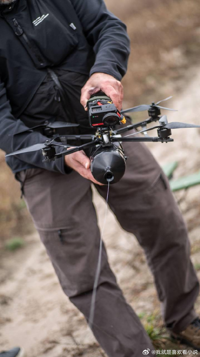
As the world of technology advances, GPS drones are taking the spotlight for revolutionizing outdoor adventures. Whether you’re a professional drone pilot or a hobbyist exploring new terrains, the integration of GPS in drones is reshaping the way we experience the great outdoors.
Why GPS Matters in Drones
The incorporation of GPS technology into drones is crucial for various reasons. Primarily, it enables precise navigation and positioning, which is essential for capturing aerial imagery and videos accurately. With GPS-enabled drones, enthusiasts can easily track their drone’s location, plan routes, and set waypoints for a seamless flying experience.
Enhanced Safety and Control
The use of GPS in drones significantly boosts safety measures. Pilots can benefit from features like geofencing, which restricts the drone’s operation within predefined boundaries, preventing it from entering restricted zones. Moreover, return-to-home features provide an added layer of safety, ensuring that the drone returns to its original take-off point in case of signal loss or low battery.
The Impact on Adventure Enthusiasts
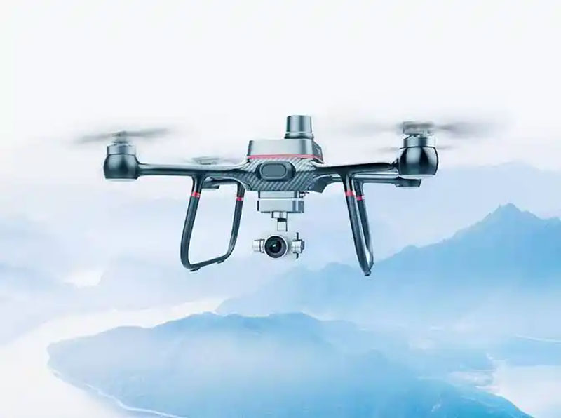
For outdoor adventurers, GPS drones open up a plethora of possibilities. From capturing breathtaking landscapes to mapping out unexplored trails, these drones are an invaluable tool for travel bloggers, nature photographers, and adventure sports athletes. With the ability to pre-set flight paths, explorers can now focus on their journey while the drone autonomously records every moment.
Drone Photography and Videography
One of the most significant impacts of GPS drone technology is on aerial photography and videography. Drones equipped with GPS can hover precisely over a location, allowing photographers to capture stunning visuals with minimal effort. The technology also facilitates creating time-lapse videos and dynamic panning shots, giving creators endless possibilities for their projects.
Exploring Remote Areas
GPS drones provide adventurers with the capability to explore remote areas that are otherwise difficult to reach. With real-time mapping and GPS tracking, travelers can venture into the wild confidently, knowing they have an eye in the sky guiding them. This technology is particularly beneficial for surveying challenging terrains such as mountains, forests, and deserts.
Technological Advancements
Recent advancements in GPS drone technology include improved accuracy, enhanced signal reception, and better user interfaces. Developers are continually working on refining these features to offer seamless integration and more reliability. The goal is to make drones more intuitive for users, allowing them to focus on creativity rather than technicalities.
The future holds exciting prospects for GPS drones as artificial intelligence and machine learning become more prevalent. These technologies promise to enhance the autonomous capabilities of drones, making them smarter and more adaptive to various environments.
Frequently Asked Questions
Are GPS drones suitable for beginners?
Yes, many GPS drones come with beginner-friendly modes that allow newcomers to practice and slowly master the art of flying.
Can GPS drones be used at night?
While GPS drones can operate at night, pilots must follow the regulations regarding nighttime operations and ensure their drone has proper lighting.
How do GPS drones handle signal interference?
Modern GPS drones have advanced systems to mitigate signal interference, but pilots are advised to avoid flying near large metal structures or other sources of potential disruption.