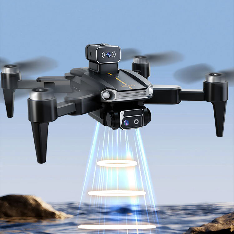
In recent years, drone real estate photography has revolutionized the way properties are marketed and viewed, providing stunning aerial shots that were once reserved for high-budget productions. This technology allows for an unparalleled perspective, showing potential buyers the full scope of a property in a captivating manner. With the advancement of drones, real estate agents now have powerful tools at their disposal to create engaging content that captures a broader audience.
The Benefits of Drone Photography in Real Estate
The use of drones in real estate photography presents multiple advantages. Primarily, drones offer a unique viewpoint that ground-based photography cannot compete with, positioning a property within its environment effectively. Whether showcasing a spacious yard, proximity to local amenities, or scenic surroundings, the drone’s eye captures it all. This wider context often influences a buyer’s decision significantly.
Furthermore, aerial photography using drones can highlight architectural details, landscaping, and even access roads, which are essential selling points that can sometimes be overlooked in traditional ground photography. This enhanced perspective can make listings more attractive on real estate platforms, increasing the likelihood of viewings and interest.

Enhanced Storytelling with Drone Imagery
Drone photography also enhances the storytelling aspect of a property’s history. By providing videos and photographs that capture sweeping views from above, real estate agents can effectively narrate the advantages of the property’s location and its potential for future enjoyment and development. This narrative not only aids in visualizing the space but also in imagining a future life within it.
🏠 “The ability to capture a property from above offers an unparalleled way to showcase its true potential and allure, transforming a listing into a stunning virtual tour.”
Best Practices for Using Drone Photography
When employing drones for real estate, it’s crucial to adhere to best practices. Firstly, understanding and complying with local aerial guidelines and regulations is paramount to ensure legal and safe operations. Choosing the right time of day for shooting can also impact the quality of the images—usually, softer natural light during dawn and dusk offers flattering results.
Post-production is another key step. Editing software can enhance raw drone footage, adjusting light balances and colors to truly represent the property
 realistically. Additionally, combining aerial shots with interior walkthroughs can provide a comprehensive view, captivating potential buyers with a complete picture of their future home.
The Future of Real Estate Marketing
As technologies continue to advance, the role of drones in the real estate sector is expected to grow. Drones could soon be utilized for 3D modeling and virtual reality tours, pushing the boundaries of property showcasing. These innovations will provide even richer multimedia experiences, likely becoming standard practice in high-end real estate marketing strategies.
Drone real estate photography is not just a trend but a substantial advancement in the industry, offering benefits that could redefine how real estate transactions are approached from viewing to purchasing. Embracing these technologies could give agents a competitive edge, enhancing listings in ways not previously imaginable.
FAQs
Q: Is drone photography expensive for real estate listings?
A: While the initial investment might seem high, drone photography can be cost-effective over time by attracting more buyers and potentially speeding up property sales.
Q: Do I need a license to operate a drone for real estate photography?
A: Yes, most regions require operators to have a certification or license to fly drones commercially, ensuring compliance with local regulations.
Q: Can drones be used for indoor real estate photography?
A: Drones are typically best-suited for outdoor aerial shots. However, they can be used indoors in large open spaces but might require more skilled piloting due to confined areas.
