
Exploring the Revolution: Drones in Surveying
Drones, or unmanned aerial vehicles (UAVs), are transforming the surveying industry with their ability to capture precise data from above. The concept of drone surveying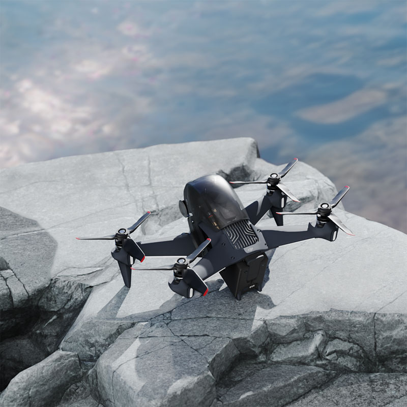 involves using these high-tech devices to gather information for various applications such as construction, agriculture, and urban planning.
Benefits of using drones for surveying include enhanced accuracy, reduced costs, and improved safety.
In traditional surveying methods, land-based equipment and human effort were essential. However, with drones, surveyors can access hard-to-reach areas effortlessly, making the process much more efficient. Additionally, drones equipped with aerial cameras and sensors can capture high-resolution images and extensive thermal data.
- The advantages of drones are plentiful: fast data collection, minimal human intervention, and the ability to cover vast areas.
- Drone surveying allows professionals to acquire data in real-time.
- These advancements facilitate meticulous analysis and decision-making in projects spanning numerous sectors.
Applications of Drone Surveying
Drones are employed in various fields due to their versatility. In agriculture, they monitor crops, assess health, and optimize water usage. In construction, drones can map out sites, track progress, and ensure safety compliance. Urban planning benefits from drones by enabling accurate city mapping and evaluating environmental impact.
Technology Behind Drone Surveying
The evolution of drone surveying is powered by cutting-edge technology such as LiDAR sensors and photogrammetry. LiDAR’s precision in measuring elevation and distance is unparalleled, while photogrammetry aids in creating detailed 3D models from 2D images.
To enhance the effectiveness of these technologies, surveyors often employ software for data interpretation, converting complex aerial information into digestible insights. The integration of GIS (Geographic Information Systems) further boosts the analytic capabilities of drone surveying. As technology advances, drones are becoming more autonomous, reducing the need for manual control and allowing surveyors to focus on data analysis.
Challenges and Considerations
Despite the myriad benefits, there are challenges associated with drone surveying. These hurdles include regulatory issues, privacy concerns, and technical limitations. Ensuring compliance with airspace regulations is vital, and addressing data security and privacy is becoming increasingly important. Additionally, while drones excel in capturing aerial data, interpreting this data accurately requires skill and experience.
Future Prospects
Looking ahead, the potential for drones in surveying is vast. As technology progresses, drones will likely become equipped with more sophisticated sensors and AI capabilities, expanding their range of applications. Integration with augmented reality (AR) and virtual reality (VR) technologies may offer immersive data visualizations, providing new perspectives on surveying data.
FAQs on Drone Surveying
What does drone surveying mean for traditional surveyors?
Drone technology complements traditional methods by offering quicker and more detailed data collection. Surveyors can integrate drone data to enhance project outcomes.
How is data processed from a drone survey?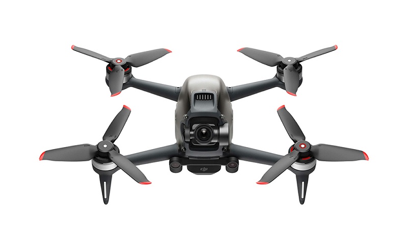
Data collected by drones is processed using specialized software, converting raw data into actionable insights through geospatial analyses.
Are drones capable of surveying in bad weather?
Drones can operate in various conditions, but severe weather may impact flight, thus delaying data collection temporarily.