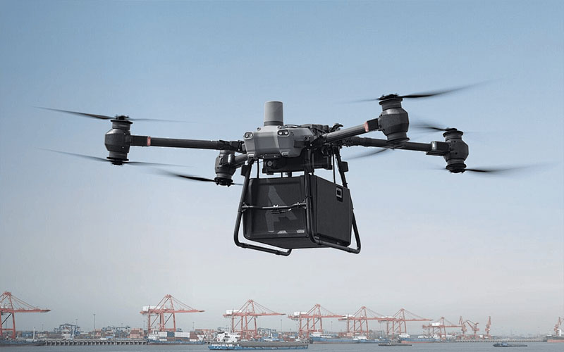
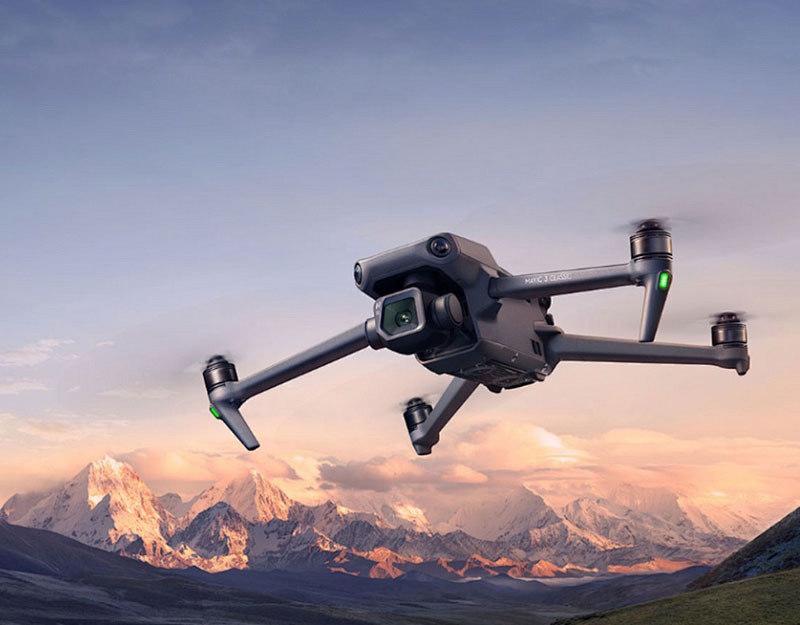
The **Global Hawk Drone** represents a pinnacle of modern surveillance technology, and its innovations and capabilities make it stand out in the realm of unmanned aerial vehicles (UAVs). This exceptional drone, optimized for all-weather reconnaissance, plays a crucial role in military and civilian applications. With a wingspan roughly equivalent to a Boeing 737, its design is engineered to ensure stability at high altitudes and long durations. The strategic significance of the Global Hawk Drone arises from its ability to collect vast amounts of data via advanced sensors and communication systems, allowing for unprecedented insights into various environments.
Technological Advancements
 The Global Hawk Drone incorporates state-of-the-art technology, including synthetic aperture radar (SAR), electro-optical, and infrared sensors, which enable it to monitor ground movements, detect changes in the environment, and perform high-resolution imaging. This provides military commanders crucial intelligence for decision-making. The integration of artificial intelligence in data analysis further enhances its capacity to deliver accurate results swiftly. The drone’s autonomous capabilities allow it to cover great distances without human intervention, making it ideal for prolonged missions.
Strategic Applications
The versatility of the Global Hawk Drone makes it indispensable for various strategic operations. It assists in border surveillance, disaster management, and environmental monitoring, serving as a critical tool in both defense and humanitarian efforts. Its long-range capabilities enable it to operate beyond visual line-of-sight (BVLOS), offering commanding views of large geographical areas.
Military and Civilian Use
In military settings, the drone provides vital real-time intelligence, thus supporting tactical operations and providing safeguards against threats. For civilian purposes, it aids in climate research, tracking wildlife, and supporting infrastructure development. Its contribution to climate research includes monitoring ice cap movements and analyzing changes in planetary weather patterns, which is essential for understanding long-term environmental transformations.
- Communication Excellence
- Environmental Monitoring
- Data Precision

The drone’s sophisticated communication systems allow it to relay high-resolution data back to ground control stations securely, facilitating quick dissemination of information. These robust systems are crucial for ensuring the privacy and security of transmitted data.
Common All-weather Challenges
Despite its advanced technology, operating the Global Hawk Drone in adverse weather conditions remains a challenge, but it has proven resilient even under extreme climate variations. Its design incorporates materials and engineering principles that withstand harsh conditions, ensuring mission fulfillment even in unpredictable environments.
FAQ
What is the range of the Global Hawk Drone? It is capable of flying up to 22,000 kilometers in a single mission, thanks to its efficient fuel usage and aerodynamic design.
How does the drone collect data? It uses a combination of high-tech sensors that capture visual, thermal, and radar data to provide comprehensive situational analysis.
What altitude can the Global Hawk operate at? The drone can reach altitudes of up to 60,000 feet, allowing it to cover expansive areas and gather intelligence from high above the ground. The remarkable abilities of the Global Hawk Drone position it as a leader in UAV technology, underlining its importance in global surveillance and environmental analysis.
