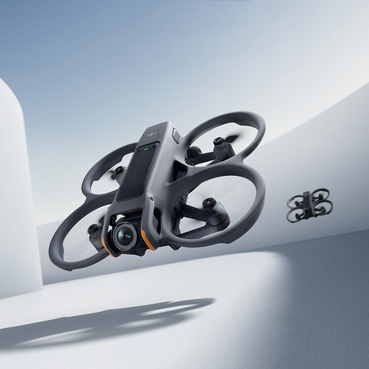
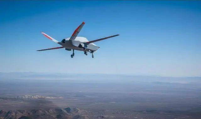
In recent years, lidar drones have emerged as a revolutionary technology, transforming industries with their precise data collection capabilities. The integration of lidar technology into drones offers unprecedented advantages in a wide array of applications, from surveying and agriculture to infrastructure inspections and environmental monitoring. Leveraging lidar, these drones produce accurate 3D models and maps, crucial for projects that demand precision and efficiency.
Why Lidar Drones are a Game Changer
The ability of lidar drones to capture detailed geographical data swiftly and accurately makes them indispensable. Traditional methods can be cumbersome and time-consuming, but drones equipped with lidar sensors can scan landscapes in a fraction of the time. This technology is particularly beneficial in surveying large areas, as lidar drones can access terrains that are otherwise difficult to explore on foot or with ground-based equipment.
Transforming Industries with Precision
Lidar drones are revolutionizing the agricultural sector by helping farmers manage their fields with greater precision. Drones equipped with lidar can assess crop health, monitor irrigation systems, and even predict yields with unparalleled accuracy. These capabilities empower farmers with data-driven insights, enhancing productivity and sustainability.
Infrastructure maintenance has also seen a significant upgrade with the advent of lidar drones. Inspecting bridges, towers, and roads traditionally required manual analysis, which is not only labor-intensive but also prone to human error. Lidar drones offer a more efficient solution, enabling quicker inspections with highly detailed data that can identify potential issues before they turn into costly repairs.

Environmental Conservation Benefits
Lidar drones play a pivotal role in environmental monitoring. By supplying comprehensive forest and wildlife surveys, they assist scientists and conservationists in tracking ecological changes. This data is instrumental in planning conservation efforts, ensuring the protection of endangered species and habitats. Lidar technology provides insights into canopy heights and vegetation density, helpful for understanding the complexities of ecosystems.

Future Trends and Innovations
The future of lidar drones is brimming with potential, as advancements in technology continue to unfold. Enhanced battery life and sensor accuracy will soon allow drones to cover larger areas for extended periods. With the rise of AI, lidar drones are likely to become autonomous, processing data in real-time, and offering immediate analytics to users. Such innovations open the door to applications we have yet to imagine, bridging the gap between different fields and spearheading new developments.
The integration of lidar drones in disaster response is another exciting area. Equipped with real-time mapping capabilities, these drones can be crucial in disaster-stricken zones, assessing damage, locating survivors, and facilitating emergency services for faster, more coordinated responses.
FAQ:
- What makes lidar drones different from regular drones?
- Lidar drones are equipped with lidar sensors, which allow them to capture high-resolution 3D data of the environment, unlike regular drones that rely solely on cameras for imaging.
- Can lidar drones be used in urban planning?
- Absolutely, lidar drones are instrumental in urban planning, as they provide precise topographical maps and models, essential for infrastructure development and city expansion projects.
- How does weather affect lidar drone operations?
- Weather conditions like rain, snow, and heavy winds can impact lidar drone functionality by distorting lidar signals or hindering flight stability. It’s crucial to plan operations around favorable weather conditions.
The potential of lidar drones continues to grow as technology advances, promising a new era of efficiency and accuracy across multiple sectors.
