
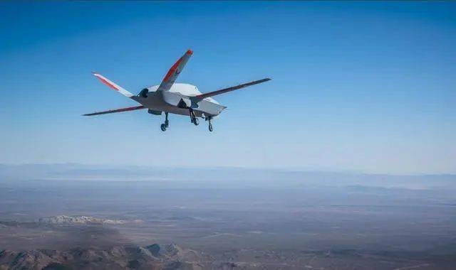
Drones equipped with LiDAR technology are redefining how we explore, analyze, and understand various terrains and landscapes. As technological advancements push the boundaries of what’s possible, utilizing drones for LiDAR mapping has become a cornerstone in the fields of environmental study, construction planning, and resource management. The combination of these technologies enables precise data collection that was once impossible or very costly.
Understanding LiDAR Technology
LiDAR, standing for Light Detection and Ranging, is a remote sensing method that uses laser pulses to measure distances between the sensor and the Earth’s surface. By emitting rapidly pulsing laser beams, LiDAR sensors can generate highly detailed, three-dimensional maps of landscapes. When mounted on drones, this technology allows for efficient data capture over large areas, which is pivotal in numerous applications.
Advantages of Drones Over Traditional Methods
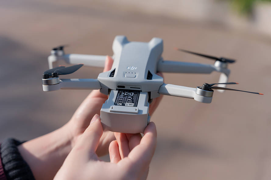
Unlike traditional methods such as satellites or ground-based equipment, drones with LiDAR are portable, cost-effective, and can access areas that are otherwise difficult to reach. They offer high-resolution mapping at significantly lower costs, bridging the gap where satellite data may be insufficient. Drones also provide flexibility in deployment, allowing researchers and professionals to adapt to rapidly changing project conditions or environmental constraints.
Applications in Various Fields
- Environmental Monitoring: Drones for LiDAR excel in tracking changes in ecosystems, including deforestation, erosion, and habitat fragmentation. This is vital for conservation efforts and climate change studies.
- Urban Planning and Development: City planners leverage LiDAR data for constructing 3D models of urban landscapes, crucial for infrastructural development and zoning regulations.
- Archaeology: Drones are invaluable for identifying historical sites that might be hidden beneath vegetation or natural cover, enabling archaeologists to explore areas without tampering with the site.
Additionally, LiDAR-equipped drones are being used in mining operations to assess terrain structures and in agriculture for monitoring crop health.
Challenges and Considerations
While drones for LiDAR mapping offer significant advantages, they are not without challenges. The collection of data must be carefully managed to ensure accuracy and precision. Weather conditions can affect the performance of LiDAR sensors, and regulatory restrictions may limit drone operations in certain areas. It is crucial to employ skilled personnel for both operation and data interpretation.
Prospective Developments
Looking to the future, advances in drone and LiDAR technology promise even greater capabilities and more efficient data processing. The reduction in size and power requirements for these sensors will enhance their usage across all terrains and allow for longer flight times. This progression will continue to open new opportunities in fields that rely heavily on accurate spatial information.
FAQs
- How accurate is LiDAR technology?
LiDAR technology is extremely accurate for mapping purposes, often achieving accuracy within centimeters. This high level of precision makes it indispensable for fields such as land surveying and engineering.
- Can drones with LiDAR operate in bad weather?
Weather can impact LiDAR operations, particularly heavy rain, fog, or strong winds. It is essential to plan flights during optimal weather conditions to ensure data accuracy.
- Are there regulations for operating LiDAR drones?
Yes, there are aviation regulations that must be adhered to when operating drones. These can include pilot certifications, flight restrictions, and areas where drone flight is prohibited.