
Drone Land Surveying: Revolutionizing Precision in Geospatial Mapping
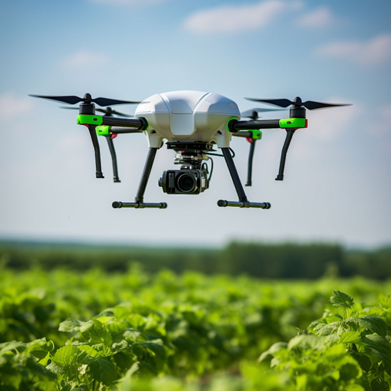
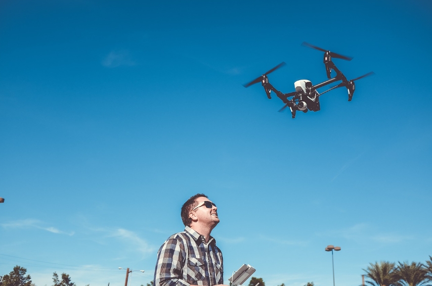
In the world of geospatial mapping, the use of drone land surveying is rapidly transforming the landscape. By leveraging advanced drone technology, surveyors can achieve unprecedented precision and efficiency in capturing topographical data. The era where manual surveying posed several limitations is slowly becoming obsolete, thanks to drones equipped with cutting-edge sensors and imaging capabilities. These unmanned aerial vehicles (UAVs) fly over designated areas, collecting detailed data that is pivotal for constructing accurate geographical maps.
The Advantages of Drone Surveying
- Enhanced Accuracy: Drones reduce human error and ensure high precision through GPS and automated systems.
- Reduced Time: Where traditional methods required long hours and extensive labor, drones complete tasks in a fraction of the time.
- Cost Efficiency: Lower operational costs stem from less labor and quicker data acquisition.
Drone land surveying offers a plethora of advantages over traditional methods. With enhanced precision, these drones can map terrains with great accuracy, providing valuable insights for urban planning, agriculture, and conservation.
For surveyors and professionals working in geospatial mapping, drones provide a reliable and effective solution to common challenges. Drones equipped with high-resolution cameras can capture minute details, offering much-needed data fidelity.
Key Technologies in Drone Surveying
The sensors and technology integrated into these drones are pivotal for accurate mapping:
- LIDAR: Many drones carry LIDAR technology, allowing for deep mapping and terrain analysis.
- Photogrammetry: Captures overlapping photographs to create 3D models.
- GPS: Facilitates exact positioning and navigation.
The combination of these technologies ensures that drone land surveying not only enhances precision but also enriches the data quality, paving the way for informed decision-making and project execution.
Applications in Various Industries
Drones used in land surveying are impacting numerous sectors:
- Urban Planning: Helps in detailed urban design and layout.
- Agriculture: Facilitates crop management through vegetation indices.
- Mining: Aids in assessing mineral deposits and excavation plans.
Among several applications, agriculture and urban planning are seeing dramatic changes due to improved aerial imagery and data insights offered by drone technology.