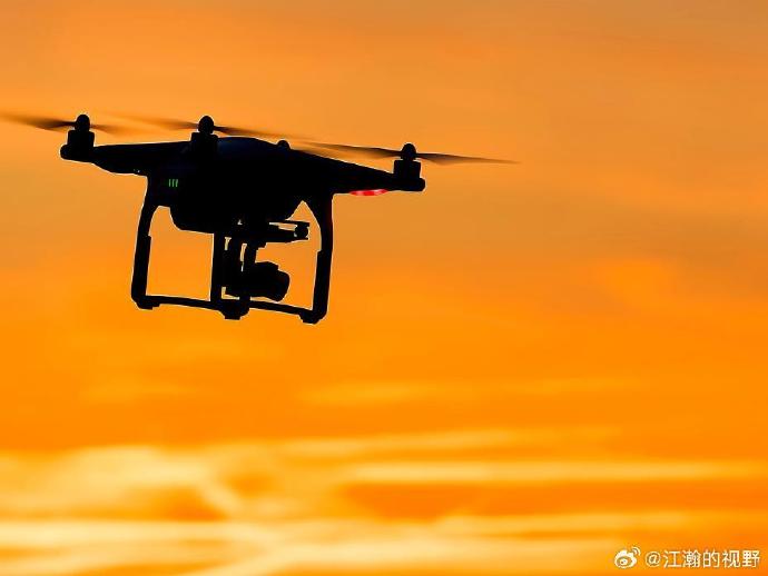
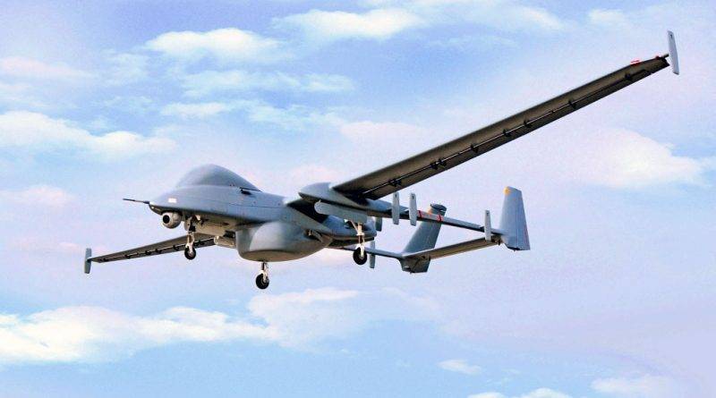
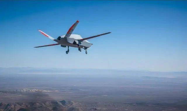
The emergence of drones with LiDAR camera systems has revolutionized industries like construction, agriculture, and environmental science. One of the notable benefits is the ability to create precise 3D models of landscapes, which enhances project planning and management. With the ability to capture high-resolution data from above, these drones provide insights into areas that were previously difficult to assess with traditional surveying methods.
Advantages of Drone-Based LiDAR Technology

One of the primary advantages of using drones with LiDAR is their efficiency and accuracy. Traditional methods of surveying require significant time and effort, often with limitations on precision due to human error or equipment constraints. LiDAR-equipped drones can cover large areas quickly, providing data that is both highly accurate and detailed. This eliminates many of the potential errors associated with manual surveying techniques.
Another advantage is accessibility. Drones can easily reach areas that are inaccessible or hazardous for humans, such as steep terrains or disaster-stricken zones. This capability not only ensures safety but also allows for continuous data collection under challenging conditions, providing critical information for decisions.
Applications in Various Industries
- Construction and Infrastructure: Drones with LiDAR cameras are widely used for monitoring progress on construction sites and inspecting infrastructure such as bridges and roads. The ability to quickly survey and analyze data helps in detecting potential issues early, which saves time and reduces costs.
- Agriculture: In agriculture, LiDAR drones play a crucial role in crop monitoring and yield optimization. Farmers can assess the health of crops, soil conditions, and plan efficient irrigation systems, thereby maximizing productivity.
- Environmental Science: Environmental scientists rely on LiDAR-equipped drones for biodiversity and habitat mapping. This technology aids in understanding ecological changes over time, assisting in conservation efforts.

The Future of LiDAR in Drones
As technology continues to evolve, the future looks promising for drones with LiDAR cameras. Further advancements in LiDAR technology, such as miniaturization and integration with AI for automated data analysis, could enhance the capabilities of these drones even more. Additionally, the reduction in costs associated with LiDAR systems will likely lead to widespread adoption across various sectors, from urban planning to wildlife conservation.
FAQ Section:
Q: How does LiDAR technology work? LiDAR uses laser light to measure distances by timing the delay between emitted and reflected pulses to create precise 3D representations of the surveyed area.
Q: Are LiDAR-equipped drones expensive? While they were initially expensive, technological advancements and increased demand have made them more affordable, with options available to fit different budget requirements.
Q: Can LiDAR drones be used in all weather conditions? Drones with LiDAR cameras can operate in various weather conditions, but severe weather may affect performance. Most systems are designed to function optimally even in less-than-perfect conditions.
