
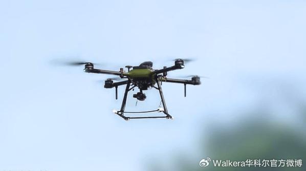
Exploring the Vast FAA Drone Map: Navigating the Skies
As drones become more popular, navigating the skies with precision and safety is crucial. The FAA drone map is an essential tool for enthusiasts, hobbyists, and professionals alike. Understanding how to utilize this map effectively can ensure compliance with regulations while maximizing the enjoyment of drone operation.
What is the FAA Drone Map?
The FAA drone map provides a detailed oversight of controlled and restricted airspaces within the United States. It serves as a critical resource for anyone flying a drone, offering information that helps operators plan flights and avoid conflicts with manned aircraft.
Key Features of the FAA Drone Map
- Interactive Elements: The map allows users to view real-time airspace restrictions, authorized flight zones, and temporary flight restrictions.
- Detailed Layers: You can toggle between different layers of information, such as national parks, urban areas, and airports, to understand the specific restrictions on each.
- Updates and Notifications: Stay informed with the latest updates directly from the FAA to accommodate changes in regulations or temporary flight restrictions due to emergencies.
Understanding how to interpret these features will enable you to fly safely and legally.
How to Access the FAA Drone Map
Accessing the FAA drone map is simple. It is available online through the FAA’s official website and can be accessed on various devices, from desktops to tablets and mobile phones. This accessibility ensures that pilots can plan their flights anytime, anywhere.
The Importance of the FAA Drone Map for Safety
Safety in drone operations is paramount. By utilizing the FAA drone map, pilots can ensure they avoid restricted areas where drones are prohibited due to security concerns or potential interference with manned aircraft. Flying in unauthorized zones can lead to severe consequences, including fines and penalties.
The Role of Drone Pilots in Maintaining Airspace Safety
Drone pilots must be vigilant and adhere to the guidelines provided by the FAA drone map. Proper understanding and compliance not only protect the pilot but also ensure the safety of individuals on the ground and in the air.
Integrating the FAA Drone Map with Technology
With advancements in technology, many drone manufacturers are integrating the FAA drone map directly into their systems. This integration allows drones to automatically adjust flight paths based on real-time map data, preventing accidental intrusion into restricted areas.
Drone Regulations and the FAA Drone Map
Drone regulations are constantly evolving. The FAA drone map serves as a dynamic tool to keep operators informed about the current rules. Regular consultation with the map ensures compliance and helps avoid any inadvertent legal issues.Understanding these regulations is crucial for responsible drone operation.

Frequently Asked Questions
What should I do if my drone strays into a restricted area?
If your drone enters a restricted airspace, immediately navigate it out of the area, land safely, and check the FAA drone map for further guidance.
Can I fly my drone anywhere if it’s under 55 pounds?
Regardless of the drone’s weight, all operators must consult the FAA drone map to ensure the flight complies with local airspace regulations.
How often should I check the FAA drone map for updates?
It is advisable to check the map before each flight, as temporary restrictions and updates can occur frequently.