
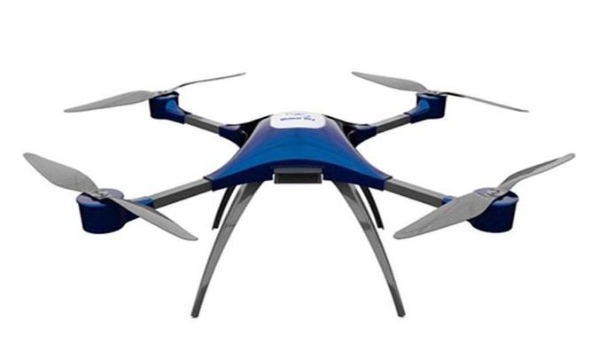
In recent years, drone scanner technology has revolutionized the way inspections are conducted across various industries, offering unprecedented efficiency and precision. Drones equipped with scanning capabilities provide a bird’s-eye view, enabling professionals to gather detailed information quickly and safely. This innovative approach minimizes human error and reduces the need for cumbersome equipment, making inspections more manageable and less time-consuming.
The Advantages of Using Drone Scanners
Drones equipped with advanced scanner technology reduce the risk associated with traditional inspection methods. In industries such as construction, infrastructure, and agriculture, workers face numerous hazards. Utilizing drones eliminates the need for physical presence in potentially dangerous environments, thus enhancing safety protocols. Additionally, these drones can access challenging terrain or structures, providing comprehensive data that would be difficult or impossible to capture otherwise.
An important benefit of drone scanner technology lies in its ability to perform inspections rapidly and accurately. Traditional methods often require days or even weeks to cover large areas, whereas drones can accomplish this within hours. The data collected by drones is precise, allowing for detailed analysis and quicker decision-making processes. This efficiency is crucial, particularly when dealing with time-sensitive projects or emergency situations.
Applications Across Industries
The versatility of drone scanners extends to various sectors. In agriculture, drones equipped with sensors can monitor crop health, identify pest infestations, and even optimize irrigation efficiency, enhancing productivity. In real estate and construction, drones provide detailed surveys and 3D models of sites, facilitating better project planning and management.
Infrastructure maintenance is another area where drone scanner technology proves invaluable. Bridges, railways, and roads can be inspected without disturbing traffic or putting personnel at risk, ensuring that maintenance is both effective and non-intrusive. These drones are also vital in assessing environmental impact, enabling monitoring of ecosystems without causing harm.
How Drone Scanners Work
Drone scanners function by utilizing a combination of imaging sensors and radar technology. These imaging sensors can include high-resolution cameras, infrared sensors, or LiDAR systems. LiDAR, which stands for Light Detection and Ranging, is particularly effective for creating detailed 3D maps of landscapes and infrastructures, offering insights that are crucial for planning and analysis.
Data gathered by these technologies is transmitted in real-time to operators or stored for later examination, making the process highly efficient. The integration of AI and machine learning enhances the analytical capabilities of scanner drones, enabling them to identify patterns and anomalies that might go unnoticed by human inspectors.
Challenges and Considerations
Despite their numerous advantages, drone scanners are not without challenges. Regulatory restrictions can limit their use in certain areas, requiring permits and compliance with aviation laws. Weather conditions also play a significant role, influencing the operation and data accuracy of drones. As technology advances, solutions to these issues are constantly being developed.
Related FAQs
What are the limitations of drone scanners in bad weather?
Drone scanners rely heavily on stable weather conditions. High winds, rain, and other adverse conditions can affect their operation and the quality of data collected. Pilots must ensure optimal conditions for drone flights to maximize efficiency and accuracy.
Do drone scanners require special permissions or licenses?
Yes, operating drones typically requires adherence to aviation regulations, which may include obtaining specific permits or licenses depending on the region. It is crucial to be aware of local laws governing drone operations.
Can drone scanners be used indoors?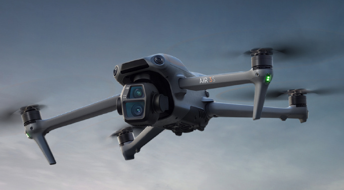
Drone scanners can be used in certain indoor environments, provided that the space is large enough to accommodate safe operation. However, indoor use may require adjustments to avoid obstacles and optimize navigation, ensuring effective data collection.