
In today’s technologically driven world, the concept of drone mapping is rapidly emerging as a transformative force across numerous industries. The integration of drone technology has paved the way for a more detailed, faster, and cost-effective approach to capturing and analyzing geographical data. The utilization of drone mapping is becoming increasingly prevalent, softening the boundaries between traditional methods and modern solutions.
Unveiling the Potential of Drone Mapping in Various Sectors
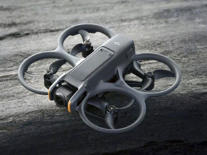
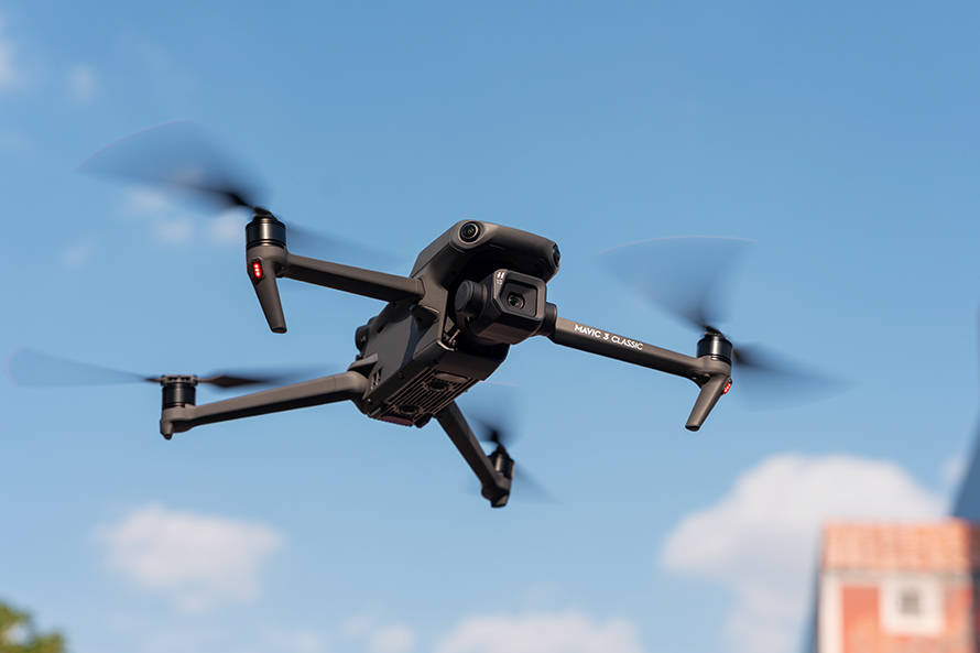
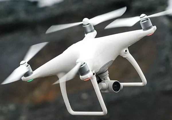
Drone mapping, fundamentally, refers to the creation of digital maps through aerially captured images and data. While its roots can be traced back to military and surveillance applications, the technology has blossomed into multiple sectors. Industries ranging from agriculture to construction are embracing drone mapping to gain a competitive edge. The precision and efficiency of drones enable quick data acquisition, which is crucial for projects requiring large-scale geographical insights.
Impact on Agriculture
Agricultural drones are revolutionizing the way farmers monitor crop health, soil conditions, and overall farm management. With drone mapping, farmers can conduct regular surveys of their land, providing data on plant health, hydration levels, and pest infestations. This actionable data allows for immediate responses, optimizing crop yields and minimizing waste. Moreover, drone mapping assists in planning irrigation, combating diseases, and ensuring sustainable farming practices.
Transforming Construction with Precision
In construction, the implications of drone mapping are profound. Surveyors can quickly map large sites, enabling accurate topographical assessments that are crucial during planning stages. Drone mapping allows for real-time monitoring and documentation of project progress, ensuring efficiency and adherence to timelines. This technology significantly reduces labor costs and minimizes human error. By providing detailed insights, drone mapping aids in resource allocation and site management, ensuring that projects run smoothly and within budget.
The Revolution in Environmental Science
Environmental scientists rely on drone mapping for precise data collection over large areas. This technology is essential for monitoring wildlife, assessing forestry health, and tracking changes in ecosystems. By employing drone mapping, researchers can easily compile data that was previously difficult and time-consuming to gather. This rapid data collection aids in developing effective conservation strategies and environmental policies.
Drone mapping is not just a technological advancement; it represents a shift in how industries perceive and utilize spatial data, revolutionizing approaches to problem-solving and strategic planning.
Advantages and Challenges of Drone Mapping
The most notable advantages of drone mapping include cost efficiency, time saving, and access to otherwise unreachable areas. Drones circumvent many obstacles posed by traditional mapping techniques, providing high-resolution data quickly and efficiently. However, this technology also has its challenges. Regulatory hurdles, privacy concerns, and the need for skilled operators can restrain its application in some regions.
Embracing the Future of Drone Mapping
Despite challenges, the future of drone mapping appears promising. With advancements in drone design and AI integration, mapping tasks are becoming more autonomous and less reliant on human intervention. This evolution invites industries to reconsider their traditional methods and explore innovative solutions for geographical analysis and data collection.
FAQs on Drone Mapping
What is the accuracy level of drone mapping?
Drone mapping accuracy can be incredibly high, often within centimeters, depending on the equipment used and conditions during data acquisition.
Are there legal restrictions on where drones can be used for mapping?
Yes, there are regulations regarding drone usage that vary by region. It’s essential to be aware of local laws and obtain necessary permissions or licenses.
How can businesses benefit from drone mapping?
Businesses can benefit from reduced operational costs, quicker data collection, improved precision in planning, and enhanced monitoring capabilities.