
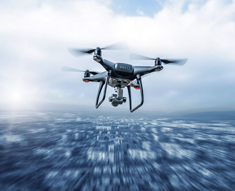
Drones integrated with lidar technology are transforming industries by enhancing precision mapping and surveying capabilities. Lidar, an acronym for Light Detection and Ranging, is a remote sensing method that uses laser light to detect objects and surfaces, allowing the creation of accurate 3D models and maps.
Adopting drones with lidar opens up a multitude of possibilities across various sectors, such as agriculture, forestry, geology, and urban planning.
Enhancement of Surveying and Mapping
The primary advantage of using drones with lidar is their ability to produce high-resolution topographic maps with superior accuracy. Traditional surveying methods often involve time-consuming and labor-intensive processes, whereas lidar-equipped drones can swiftly cover large areas, capturing detailed data. These precise measurements help professionals make informed decisions regarding land use, environmental assessments, and urban development.
Application in Agriculture and Forestry
Lidar-equipped drones are invaluable in agriculture and forestry. By providing detailed insights into crop health and forest composition, they enable efficient resource management and disease monitoring. In forestry, drones can analyze tree canopies and identify potential hazards, assisting in sustainable land management practices.
Advancements in Geology
Lidar technology aids geologists in studying landforms and geological features. Drones can fly over difficult terrains, collecting valuable data that helps in understanding earth processes like erosion, sedimentation, and tectonics. Through this, geologists can better predict natural disasters and contribute to safety measures.
Urban Planning and Infrastructure
Drones with lidar are reshaping urban planning by offering planners the tools to create accurate 3D representations of urban environments. This data assists in infrastructure development, traffic management, and public safety planning, creating more efficient cities and reducing the chances of design errors. The ability to quickly remodel and analyze urban landscapes leads to faster project realization and smarter city planning.
Integrating drones equipped with lidar technology also streamlines archaeological exploration, enabling researchers to identify site locations without destructive excavation.
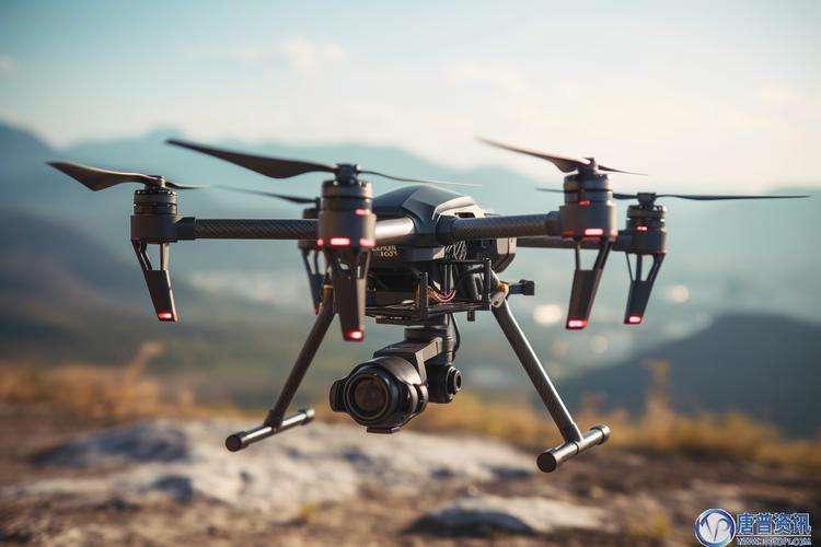
 The lidar system’s compatibility with drones makes it a versatile tool for various research and inspection applications. With advancements in this technology, inspection of structures from bridges to pipelines is now safer and more thorough.
Environmental Monitoring
As environmental concerns grow, lidar drones contribute significantly to conservation efforts by monitoring natural habitats, detecting changes in biodiversity, and aiding in climate research. This ongoing observation helps scientists understand environmental dynamics and supports the protection of endangered species.
Future Implications
With continuous development, the integration of AI with drones using lidar promises to further revolutionize surveying and mapping, offering opportunities for automation and smart analysis.
- FAQ: What is a major advantage of using drones with lidar over traditional methods?
- Compared to traditional surveying methods, drones equipped with lidar provide rapid data collection with high accuracy and resolution, saving time and reducing physical labor.
- How does lidar assist in agriculture?
- Lidar technology gives detailed information on crop health and soil conditions, enabling precise management and planning for improved yield.
- Can lidar drones be used in humanitarian efforts?
- Absolutely, they can be deployed in disaster-struck areas for rapid geographic assessment and logistics planning, enhancing response efficiency.
By embracing drones with lidar technology, industries worldwide are witnessing groundbreaking transformations in how we perceive, analyze, and interact with our environments.