
Discovering the Potential of Drone Survey Technology
Drone survey technology represents a significant progression in data capture methodologies, providing an innovative edge in diverse industries. These advanced devices, equipped with high-resolution cameras and sensors, offer unparalleled aerial perspectives. The increasing demand for efficient and accurate surveying methods has propelled the use of drone surveys to the forefront of technological advancement.
One of the foremost advantages of drone surveys is their ability to rapidly collect detailed data. Unlike traditional methods, which often require extensive labor and time, drones can autonomously scan vast landscapes, ensuring precision and comprehensiveness. Companies are embracing this technology to optimize their processes, improve safety, and cut operational costs significantly.
In industries such as agriculture, construction, and environmental monitoring, drone surveys provide real-time insights that are crucial for decision-making. Farmers use drones to inspect crops for disease or assess water distribution, making adjustments that lead to better yield and cost savings. In construction, drones facilitate progress tracking, site mapping, and safety inspections without disrupting ongoing activities.
Furthermore, the environmental sector benefits enormously from this technology. Drones enable professionals to monitor wildlife, track forest changes, and conduct geographic examinations without intrusive measures that could harm the ecosystem.
The Technical Aspects of Drone Surveys
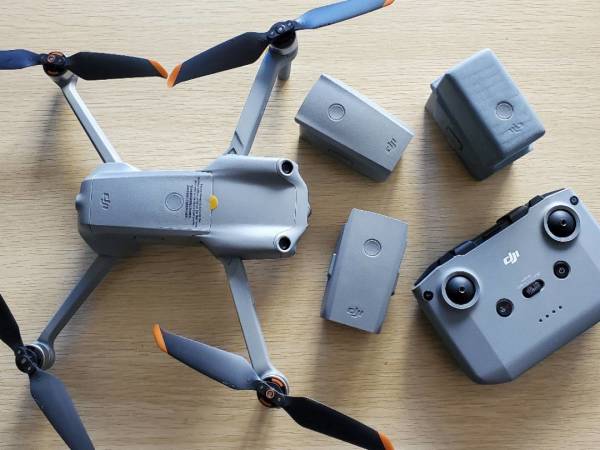
At the heart of drone survey technology are the cameras and sensors that capture and analyze data. High-resolution and multispectral cameras allow for the collection of detailed images and data in various spectral bands, providing a comprehensive view that is invaluable for scientific and research purposes. Also, the software used for analyzing this data is advanced, offering features that simplify the processing and interpretation of the collected information.
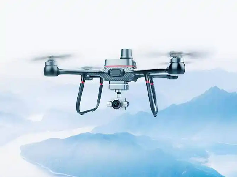
Accuracy is paramount in any survey, and drones excel in this regard. Through GPS and sophisticated flight control systems, drones ensure precision delivery of location data. This reliability in data makes drones indispensable tools for surveyors who demand accuracy and integrity in their work.
Challenges in Drone Survey Deployments
Despite their myriad benefits, deploying drone surveys comes with its challenges. Regulatory hurdles and the need for skilled operators can restrict drone usage. Navigating airspace regulations and obtaining necessary permissions often require administrative diligence that might delay projects. Additionally, skilled personnel trained in operating drone technology is essential, highlighting a need for specialized education and training programs.
The drone’s battery life and weather conditions also pose limitations on continuous operations, requiring strategic planning to maximize their deployment efficiency. Fortunately, enhancements in drone technology continue to address these factors, paving ways for even broader applications.
FAQs about Drone Surveying
What is the accuracy level of drone surveys?
Drone surveys are known for their high accuracy, often within a few centimeters of error, thanks to advanced GPS and camera technology.
Do I need a license to operate a drone for surveys?
Yes, most countries require a license to operate drones commercially, especially for surveying purposes, to ensure safety and compliance with aviation regulations.
How do weather conditions affect drone surveys?
Weather can impact drone operations significantly; high winds, rain, and fog may restrict flights, thus affecting data collection times and quality.