
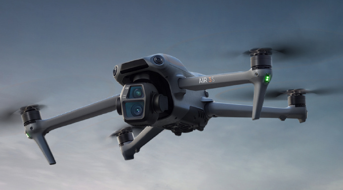
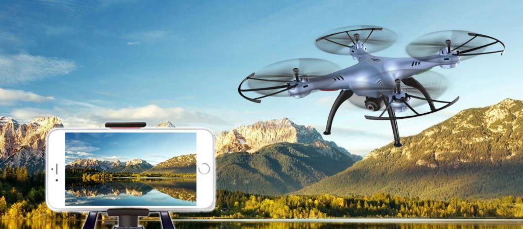
Understanding Lidar Drones
Lidar drones use laser sensors to measure distances by illuminating a target with a laser and analyzing the light that is reflected back. This technique allows for the creation of precise, three-dimensional representations of the scanned landscapes. The efficiency and accuracy of Lidar drones make them invaluable in various fields.
Applications in Urban Planning
In urban planning, Lidar drone technology plays a critical role in developing and managing city structures. Urban developers utilize data from Lidar drones to assess land topography, evaluate infrastructural needs, and simulate urban growth. This aids in making informed decisions that are crucial to sustainable city planning.
Environmental Monitoring
Lidar drones are equally beneficial for environmental monitoring. Environmental scientists can collect data on forest density, biomass, and topographical changes due to natural calamities. This information is essential in understanding ecosystem dynamics and can help in creating strategies to combat climate change.
The Advantages of Lidar Drone Technology
- Precision
 : Lidar drones offer unrivaled accuracy, capturing data with centimeter precision.
 - Efficiency: Covering large areas faster than traditional methods, Lidar drones significantly reduce the time and costs associated with mapping.
- Safety: Drones can access hazardous or difficult terrains without risking human safety, making them ideal for areas affected by disasters or remote locations.
These benefits demonstrate why Lidar drones are gaining popularity across industries. Their capacity to revolutionize data collection methods is unparalleled.
Technological Developments
The continuous advancements in Lidar technology and drone engineering promise even more exciting developments on the horizon. Improvements in sensor technology and data processing algorithms are making Lidar drones more accessible and user-friendly, expanding their utility and application.
Challenges Ahead
Despite their advantages, Lidar drones face certain challenges such as high operational costs and regulatory restrictions regarding drone flights. Additionally, data processing requires specialized software and technical expertise, which could be a barrier for widespread adoption.

The Future of Lidar Drones
Looking ahead, the future of Lidar drones seems bright with potential improvements in battery life, sensor miniaturization, and cost reductions. As these technologies evolve, we can expect a broader acceptance and integration into various sectors beyond those currently utilizing it.
- FAQ:
- What is Lidar technology? Lidar technology uses lasers to measure the distance to objects, creating detailed 3D maps.
- How do Lidar drones work? They send out laser pulses to the ground and measure the time it takes for the light to return, constructing a 3D model of the area.
- Can Lidar drones be used in agriculture? Yes, they are increasingly used for precision agriculture, helping to monitor crop health and optimize resources.
By embracing Lidar drone technology, we stand on the cusp of a new era in mapping and surveying that will drive innovation across several domains. The potential applications are limited only by our imagination, making it a crucial technology for the future.