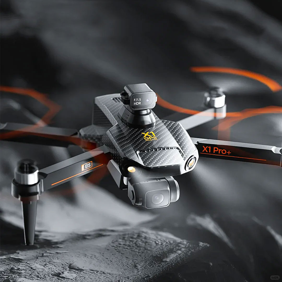
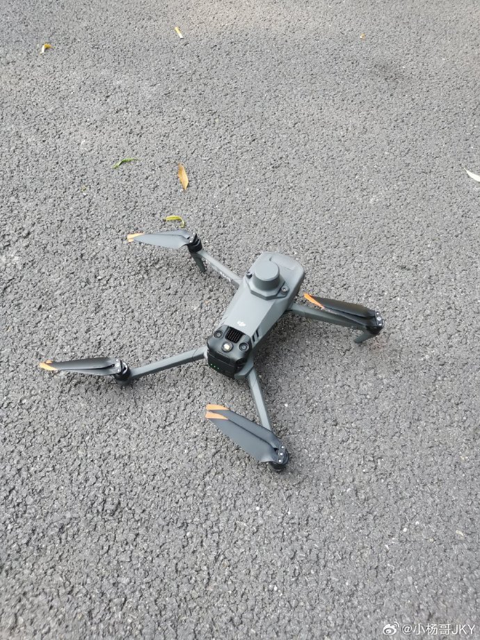
In the ever-evolving world of technology, drone route research has become a pivotal area of focus, particularly at institutions like MIT. The Massachusetts Institute of Technology (MIT) has long been a leader in pioneering new technologies, and its drone route research is no exception. This research aims to advance aerial navigation, optimize flight paths, and enhance efficiency in unmanned aerial vehicles (UAVs). Understanding how drones can autonomously navigate through complex environments is essential for a variety of applications ranging from delivery services to surveillance.
Innovations in Drone Navigation

The heart of MIT’s drone route research lies in developing algorithms and systems that allow drones to understand and react to their surroundings dynamically. These systems empower drones to make real-time decisions about their flight paths, avoiding obstacles and optimizing their routes for energy efficiency. Such advancements are crucial in urban settings where UAVs need to navigate through tall buildings, varying wind patterns, and unpredictable obstacles.
MIT researchers focus on several key areas such as machine learning, sensor technologies, and autonomous systems integration to push the boundaries of drone technology. By harnessing the power of machine learning, drones can learn from past experiences and improve their navigation capabilities over time. This learning mechanism enables drones to anticipate potential hazards and adapt accordingly, a significant leap forward from preprogrammed flight paths.
Applications and Implications

The implications of these advancements are vast. Improved aerial navigation means that drones can be employed in new domains such as agriculture, where they can survey crops and optimize irrigation processes. In disaster management, drones equipped with advanced navigation systems can quickly reach affected areas and provide real-time data, offering invaluable support to rescue operations. Furthermore, in the realm of e-commerce, efficient drone delivery systems have the potential to revolutionize the industry by offering rapid, home-to-home deliveries while minimizing overhead costs.
Beyond commercial applications, the military and law enforcement agencies can benefit from MIT’s drone route research. The ability to navigate complex terrains with precision can enhance reconnaissance missions and improve security operations. Meanwhile, environmental agencies can use these drones to monitor wildlife and ecosystems without disturbing the natural habitat.
Challenges and Future Directions
Despite its promising potential, drone route research faces several challenges. Weather conditions pose a significant hurdle; drones must be resilient enough to operate in diverse climates. MIT is working on integrating advanced sensor technologies to enable drones to withstand harsh weather while maintaining navigation accuracy.
Additionally, the regulatory environment for drone operations continues to evolve. Legal frameworks must adapt to accommodate the growing use of drones, ensuring safety and privacy while fostering innovation. MIT is collaborating with policymakers to create guidelines that support technological advancements without compromising public safety.
The future of drone route research at MIT is bright. Researchers are exploring the integration of artificial intelligence with quantum computing to further enhance drone capabilities. These cutting-edge technologies promise to unlock new levels of efficiency, autonomy, and intelligence in UAVs, paving the way for breakthroughs across multiple sectors.
FAQs on Drone Route Research
Q: How do drones autonomously navigate?
A: Drones navigate autonomously through sophisticated algorithms that process data from sensors, allowing them to make real-time decisions.
Q: What are the main challenges in drone route research?
A: The primary challenges include designing sensors that can cope with adverse weather conditions and navigating a changing regulatory landscape.
Q: How can improved drone navigation impact the delivery industry?
A: Enhanced navigation can streamline delivery processes, reduce costs, and increase the speed and reliability of drone-based deliveries, ultimately transforming the e-commerce sector.
