.jpg?resize=1024,1024&ssl=1 "Capturing the Future: How Drone Real Estate Photography is Revolutionizing Property Listings")
Drone real estate photography is transforming the way properties are marketed, providing a fresh perspective that traditional ground-based photography struggles to offer. As aerial technology advances, it has become increasingly accessible to real estate professionals eager to showcase their listings in an innovative and compelling manner.
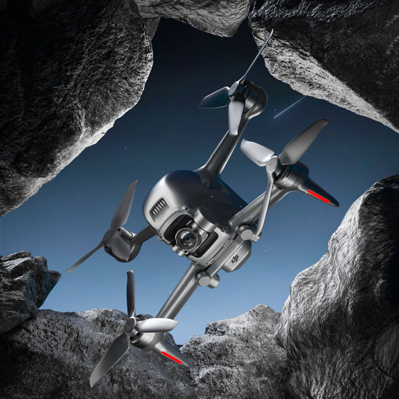
Unveiling New Perspectives with Drone Photography
Drone photography allows real estate agents to capture stunning aerial views of properties, thereby giving potential buyers a comprehensive look at not just the property but its surroundings as well. This bird’s-eye view can highlight nearby amenities, landscapes, and even the neighborhood’s charm. It’s no surprise that drone real estate photography is quickly becoming a must-have tool in the realtor’s toolkit.
Benefits of Drone Photography in Real Estate
- Enhanced Property Visibility: Aerial shots showcase the property’s exterior and its context within surrounding environments, which is particularly useful for large estates or properties. It demonstrates size, layout, and features in a single shot.
- Comprehensive Marketing: With aerial images, listings are more informative, illustrating the property’s full potential and attractiveness to prospective buyers.
- Increased Engagement: Eye-catching drone photos and video tours are more likely to increase engagement from potential buyers online, often resulting in more inquiries and showings.
Cost-Effectiveness and Efficiency
Modern drones are not only affordable but also efficient, reducing the time it takes to photograph a property compared to traditional methods. Real estate photographers can now produce high-quality imagery and videos in less time, allowing realtors to proceed with marketing strategies sooner.
Legal and Technical Considerations
It’s imperative for professionals engaging in drone real estate photography to adhere to local regulations and acquire necessary certifications. Drones must be operated safely and ethically, respecting privacy and no-fly zones. Additionally, technical aspects such as weather conditions and time of day can significantly impact the quality of aerial photography, requiring strategic planning for optimal shots.
.jpg)
The Future of Drone Real Estate Photography
As technology continues to evolve, drones will become even more integral to real estate marketing. The possibility of incorporating virtual tours, augmented reality overlays, and detailed property analytics derived from drone data opens up exciting avenues for the future. Those who adapt to drone real estate photography today position themselves ahead in the competitive market landscape.
Avoiding Common Mistakes
Despite the benefits, some real estate agents may face challenges such as over-reliance on drone images without considering ground-level details, not optimizing photo quality, or failing to comply with drone regulations. A balanced approach that combines aerial and traditional photography can provide a more rounded representation of a property.
Frequently Asked Questions (FAQ):
How much does drone real estate photography cost?
The cost can vary widely based on location, project size, complexity, and the photographer’s expertise. It’s essential to weigh these factors against the potential marketing benefits.
Can drones capture interior shots?
While primarily used for exterior and aerial views, advanced drones can also capture interior shots using specialized equipment. However, it is less common due to space constraints and complexity.
Final Thoughts
Drone real estate photography provides an unprecedented ability to capture and market properties dynamically. By leveraging the tools effectively, agents can reach potential buyers with innovative and engaging visuals, setting themselves apart in a crowded market. With careful planning and execution, drones can undoubtedly offer a competitive edge in real estate photography and marketing.