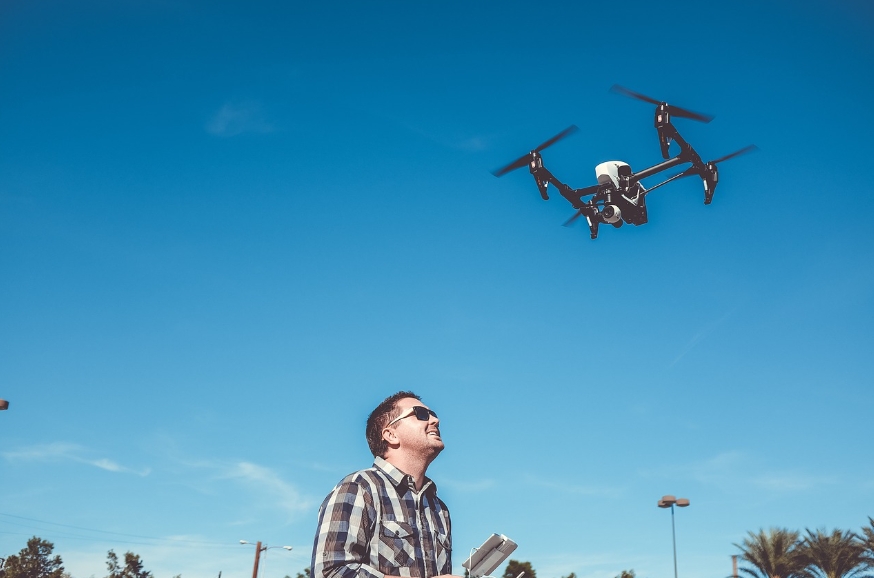
In the ever-evolving world of technology, the fusion of drones and precision agriculture has sparked groundbreaking innovations, reshaping how farmers monitor and manage their crops. Organizations like NASA have delved deep into the potential applications of drones in agriculture, broadening their scope to include sophisticated imaging, data collection, and analysis. Precision agriculture, powered by drones, isn’t just a trend—it’s a transformative approach to optimize yields, save resources, and ensure food security for a growing population.
The Role of NASA in Advancing Drone Precision Agriculture

NASA, known for its space exploration endeavors, has contributed significantly to terrestrial advancements as well. Their research on remote sensing, imaging technologies, and data integration has laid the foundation for many modern agricultural methods. Utilizing drones equipped with hyperspectral and multispectral cameras, farmers can gather detailed data, which was once accessible only via satellites. This enhanced imaging capability enables growers to assess soil health, crop stress, moisture levels, and detect diseases at an early stage, ensuring timely interventions and improved yields.
How Drones Enhance Precision Agriculture
Drones equipped with advanced tools are rapidly becoming the backbone of modern agriculture. By flying over fields, these devices capture high-resolution images and collect a multitude of data points. This process, powered by state-of-the-art NASA technologies, streamlines tasks like field mapping, pest detection, and irrigation monitoring. It also reduces the need for manual inspections, significantly cutting labor costs and time spent while ensuring better accuracy. For example, thermal sensors on drones can reveal drought-affected areas, enabling farmers to implement targeted solutions.
The Science Behind Drone Imaging
The use of drones in precision agriculture integrates advanced imaging systems that break down sunlight into different wavelengths, capturing a spectrum of data invisible to the human eye. These insights offer actionable intelligence about a farm’s health. NASA, contributing its expertise, has refined these techniques, ensuring the higher efficiency of drones. Farmers can interpret this data to calculate crucial metrics like Normalized Difference Vegetation Index (NDVI), which assesses plant health. With NDVI mapping, challenges such as nutrient deficiencies or pest infestations are no longer concealed within vast acres of fields.
- Resource Optimization: Drones allow farmers to use fertilizers, pesticides, and water more effectively, reducing waste and environmental impact.
- Cost Reduction: Precision applications help lower input costs while ensuring healthy outputs.
- Crop Longevity: Early identification of issues extends the viability of crops, preventing large-scale losses.

Future Trends in Drone Precision Agriculture
The integration of AI, machine learning, and NASA-driven technologies has a bright future in transforming precision agriculture further. Automation in both data analysis and physical farming tasks is poised to become an industry-standard. AI-powered drones will be able to autonomously identify threats, such as invasive pests, and deploy solutions like spraying pesticides only in affected areas, minimizing harm to the environment. Moreover, the potential use of NASA’s long-duration endurance drones could enable real-time, aerial monitoring of large-scale agricultural regions continuously for days.
The possibilities are immense—Gartner indicates that the agricultural drone market is expected to exceed billions of dollars within the next decade as more farmers recognize their value.
How Can Farmers Start Utilizing Drones Today?
Getting started with drone technology in farming may seem daunting, but various affordable models offer user-friendly interfaces and comprehensive software for data interpretation. By choosing entry-level drones equipped with NDVI sensors, farmers can immediately start collecting data and improve their farming strategies. Additionally, collaborating with specialists or seeking NASA’s partnerships can provide a deeper understanding of advanced applications and tools suitable for their specific needs.
Final Thoughts
Drones and NASA’s contributions to precision agriculture mark the convergence of cutting-edge technology and sustainable farming practices. This pairing is not just a futuristic concept; it’s already transforming lives and landscapes globally. By leveraging these innovations, the agricultural industry is moving towards a future where resource scarcity is minimized, and food production can keep pace with societal growth.
FAQs
1. Can farmers with small-scale operations benefit from drones in precision agriculture? Absolutely. Many affordable drone models are now available, tailored for small-scale farms, enabling streamlined operations and optimized resource allocation.
2. How does NASA’s involvement enhance the reliability of agricultural drones? NASA’s expertise in remote sensing, data processing, and image analysis ensures that agricultural drones are equipped with the most advanced and accurate technology available.
3. What is the cost of implementing drone technology for farming? The cost varies depending on the drone model and its capabilities. Entry-level models suitable for basic applications can start around a few hundred dollars, while advanced systems might range into the thousands, but the investment often pays off quickly through long-term savings and increased yields.
