
In recent years, the advancement of GPS drone technology has revolutionized the way we explore and interact with the sky. These drones, equipped with GPS tracking systems, have become indispensable tools in various sectors, from filmmaking to agriculture. But what exactly makes GPS drones so attractive and valuable? Their ability to provide precise location data is undoubtedly one of the most significant benefits, enhancing their functionality across different applications. Let’s delve deeper into the benefits and capabilities of these aerial marvels.
Precision and Accuracy
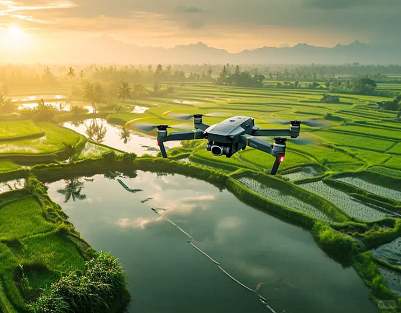
A key advantage of GPS-equipped drones is their pinpoint accuracy. The GPS system communicates with satellites to determine the exact position of the drone, which is essential for tasks such as mapping, surveying, and targeted delivery. This accuracy enables operators to execute complex flight plans and navigate challenging environments with ease. Imagine a scenario where farmers need to map their fields for efficient crop management; a GPS drone can facilitate this process swiftly and reliably.

Enhancing Safety and Control
Aside from accuracy, GPS drones offer enhanced safety features. With real-time tracking, operators can monitor the drone’s position and make adjustments to flight paths when necessary, reducing the risk of mishaps. In the event of signal loss or low battery, many drones are programmed to automatically return to their starting position, minimizing the risk of loss and damage.
Expanding Creative Possibilities
For artists and filmmakers, GPS drones open up a world of creative possibilities. Aerial photography and videography have become more accessible and affordable, allowing creators to capture stunning visuals that were previously challenging without helicopter rentals. The ability to execute precise flight patterns for capturing panoramic or dynamic shots adds to the artistic toolkit.
GPS technology in drones also facilitates automated flight patterns. This is particularly useful in repetitive tasks like agricultural inspections or security patrols. By programming specific flight paths, drones can consistently monitor areas without human intervention, improving efficiency and freeing up resources for other tasks.
FAQs
How do GPS drones benefit agriculture?
GPS drones assist agriculture by providing precise data for mapping, crop monitoring, and irrigation management, making farming more efficient and resource-effective.
Can GPS drones be used in urban settings?
Absolutely, they are utilized in urban environments for inspections, delivery services, and even assisting in emergencies due to their reliable navigation capabilities.
What is the range of a GPS drone?
The range varies by model, but most consumer drones operate effectively within a few kilometers from the operator, ensuring reliable communication and control.