
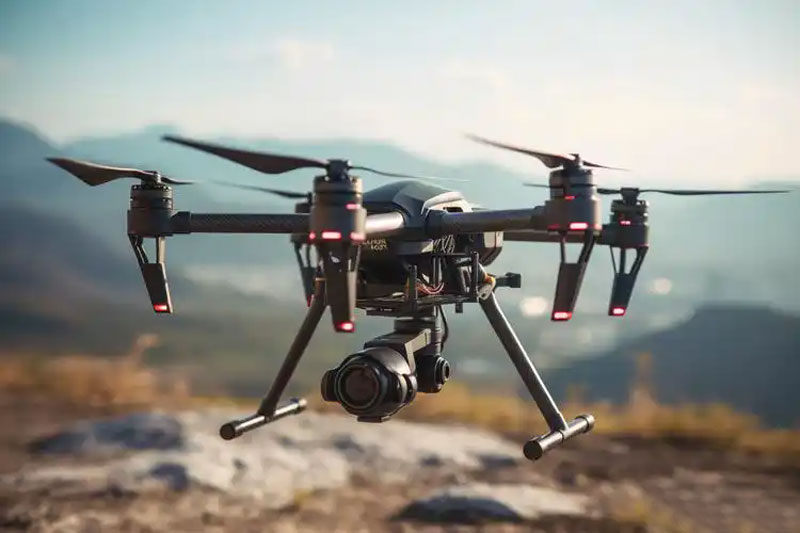
Drones, an exciting innovation in the realm of technology, have revolutionized how we capture images, gather data, and explore our surroundings. Yet, with great power comes great responsibility, especially when it pertains to flying drones in bustling areas like New York City. As drone popularity skyrockets, understanding the FAA’s rules and restrictions is paramount for safe and legal flight operations.
The Essence of Drone Regulations in New York
In the state of New York, drone flight restrictions are heavily influenced by guidelines from the Federal Aviation Administration (FAA). The FAA has set forth regulations to ensure airspace safety and prevent potential hazards stemming from drone mishaps. It’s crucial for drone enthusiasts and professionals alike to familiarize themselves with these rules to avoid legal issues and contribute to a safer airspace environment.
Safety considerations are paramount when it comes to drone flights. Navigating through dense urban environments like New York’s skyscrapers poses unique challenges. The FAA mandates specific guidelines, including altitude limits and no-fly zones, particularly around airports and densely populated areas.
Key FAA Regulations for Drone Flights
- Registering Your Drone: All drones weighing more than 0.55 pounds must be registered with the FAA before they take to the sky. This registration helps keep track of drones and ensures accountability.
- Maintain Visual Line-of-Sight: Drone pilots must keep their drones within their line of sight, a rule aimed at minimizing accidents and ensuring the pilot retains control at all times.
- No Flying Over People: It’s prohibited to operate drones directly over groups of people unless specific FAA waivers are obtained.
- Altitude Restriction: Keep your drone below 400 feet to comply with FAA airspace regulations, mitigating risks of interference with manned aircraft.
- Restricted Areas: New York drone pilots must be aware of no-fly zones such as near LaGuardia and JFK airports, stadiums, and government buildings.
Navigating New York’s Unique Restrictions
Aside from FAA rules, there are additional state and local regulations that drone operators must adhere to in New York. For instance, Central Park and other NYC public parks have stringent no-drone policies. These ensure public safety and preserve the tranquility of shared spaces.
Drone pilots must be savvy about distinguishing between FAA rules and local legislation to ensure compliance. Consulting local maps and resources can assist in planning a smooth flight path while respecting all restrictions.
Consequences of Ignoring Restrictions
Flying drones in restricted zones or ignoring altitude limits can lead to severe consequences, including hefty fines and legal action. The FAA does not take violations lightly, and the repercussions are substantial. Hence, it is imperative for drone enthusiasts to be vigilant and informed about both federal and local drone laws.
Advanced Considerations
Technology advances continuously, introducing new capabilities and associated risks for drone operations. As we embrace new developments, drone pilots must stay updated with regulations as they evolve. Understanding advancements like drone geofencing – a technology that restricts flight paths according to geographic boundaries – is invaluable for compliance and safety.
Frequently Asked Questions
Can I fly my drone anywhere in New York City?
No, many areas such as airports, public parks, and certain government buildings have strict no-fly zones.
Do I need a license to fly my drone in New York?
If you’re flying for commercial purposes, a Part 107 certification from the FAA is necessary. Recreational users should comply with basic FAA guidelines.
How can I check if a specific area is a no-fly zone?
Using apps like Airmap or checking FAA resources online can help you determine safe and legal flying zones.