.jpg?resize=1024,1024&ssl=1 "Revolutionize Your Project Planning with Drone Land Surveying Techniques")
Introduction to Drone Technology
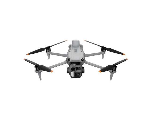
Drones, also known as unmanned aerial vehicles (UAVs), have ascended from mere novelties to essential tools in land surveying. They are equipped with GPS systems and cameras that allow for precise geomapping. These devices navigate difficult terrains effortlessly, providing comprehensive overviews of the land that would be otherwise challenging to obtain. The process is quicker than traditional methods, reducing time and cost, while enhancing safety by minimizing human interaction in hazardous zones.
Advantages of Drone-driven Surveys
- Precision and Accuracy: Drone surveys capture intricate details that traditional methods often miss. Equipped with LIDAR technology, drones can model landscapes with precision up to centimeters.
- Efficiency: Rapid data collection is a key benefit, reducing the time needed for project planning phases significantly.
- Safety: Mitigating risks associated with manual surveying, drones offer a safer approach to mapping regions prone to dangers such as landslides or unstable structures.
- Cost-effective: Drones cut down labor costs and logistical expenses associated with traditional land surveys.
Implications for Various Sectors
Drone land surveying is revolutionizing sectors ranging from construction to agriculture.
In construction, aerial surveys with drones provide comprehensive data that aids in everything from initial site assessments to progress tracking. For environmental studies and agriculture, drones deliver valuable insights into crop health and land conditions, facilitating precision farming techniques and conservation efforts.
.jpg)
Notably, real estate companies utilize drone surveys to showcase properties effectively, providing potential buyers with panoramic views and detailed land assessments.
This innovation drives growth by improving client engagement and offering transparency in property transactions.
Challenges and Considerations
While the benefits are numerous, drone land surveying requires consideration of regulatory compliance. Operators must navigate airspace regulations and ensure privacy standards are maintained.Weather conditions can also impact survey efficiency, necessitating careful planning to ensure optimal results.
Future Prospects
The trajectory of drone land surveying technology points towards increasingly autonomous drones capable of self-navigation and advanced analytics. As AI integration progresses, data analysis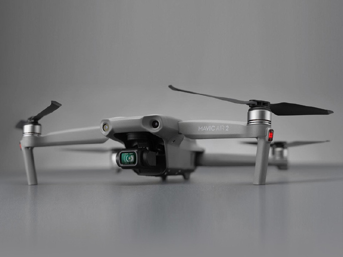 will become more streamlined, offering real-time insights and further enhancing project planning capabilities.
Drone innovations are poised to continue revolutionizing land surveys, assisting diverse sectors in achieving higher precision and efficiency.
As technologies evolve, reliance on traditional methods will diminish, paving the way for smarter, data-driven decision-making.
Frequently Asked Questions (FAQ)
- How accurate are drone land surveys?
- Drone surveys can achieve precision up to a few centimeters, depending on the equipment used and conditions during data collection.
- What types of projects benefit from drone surveying?
- Diverse projects benefit from drone surveying, including construction, agriculture, environmental studies, and real estate assessments.
- Are there any limitations to using drones for surveying?
- Weather conditions, regulatory compliance, and battery life are common limitations when it comes to using drones for land surveys.