
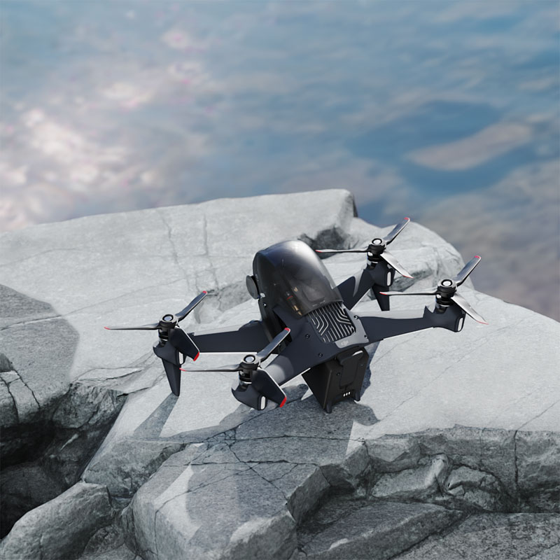
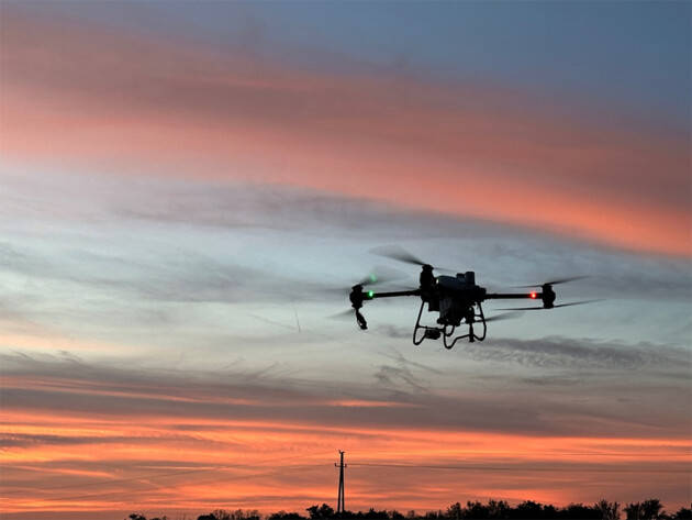
In the rapidly evolving world of drone technology, understanding drone airspace maps is crucial for safe and efficient flights. Drones, also known as unmanned aerial vehicles (UAVs), have become an integral tool for both recreational enthusiasts and professional operators. However, flying drones require an awareness of the airspace they are navigating to ensure compliance with aviation regulations and to avoid accidents. This is where the significance of drone airspace maps comes into play.
What are Drone Airspace Maps?
Drone airspace maps are specialized charts detailing the different types of airspace layers, along with their classifications and restrictions. These maps serve as a guide to inform drone operators about no-fly zones, restricted areas, controlled airspaces, and other critical information pertinent to safe drone flight. For instance, certain areas near airports demand heightened caution, while others, like national parks, might be altogether off-limits for drones.
Why are Drone Airspace Maps Important?
These maps are indispensable because they provide crucial information on the allowed flight zones and prohibited areas. Flying a drone in restricted airspace without proper authorization can lead to legal consequences and poses a risk to manned aircraft. Moreover, utilizing drone airspace maps helps operators plan their flights, ensuring not only legal compliance but also maximizing the operational efficiency of their drones.
Understanding Airspace Classifications
The National Airspace System (NAS) of many countries categorizes airspace into classes based on the level of control and the types of flights permitted. Commonly these include:
- Class A: Generally high-altitude airspace from 18,000 feet Mean Sea Level (MSL) to Flight Level 600. It’s typically off-limits for drones.
- Class B:
 Surface to 10,000 feet surrounding major airports. Requires clearance from air traffic control.
 - Class C: Similar to Class B but for smaller airports, requiring clearance for entry.
- Class D: Airspace around airports with an operational control tower but less traffic than Class B or C.
- Class E and G: Uncontrolled airspaces, with Class E being controlled for IFR operations and Class G generally being safe for drone flights without needing ATC clearance.
Using Technology for Accessing Airspace Maps
Various applications and platforms have emerged to assist drone pilots in accessing real-time airspace information. Apps like AirMap and DJI’s Fly Safe software integrate maps and regulatory data to provide users with crucial situational awareness. These tools not only enhance flight safety but also simplify the process by which drone operators can ascertain flight approvals where necessary. In some regions, these apps even allow direct communication with relevant authorities for flight authorization.
Challenges and Considerations
Working with drone airspace maps can be challenging due to the ever-changing nature of airspace restrictions. Temporary flight restrictions (TFRs) can be imposed suddenly due to various factors, including VIP movement or natural disasters. It’s essential for operators to regularly update their maps and stay informed about the latest regulatory changes.
Ensuring Compliance with Local Regulations
Drone pilots must be aware of the specific regulations that apply in their operational region. Guidelines can vary significantly between different countries and even localities. By referring to drone airspace maps, pilots can ensure they meet all legal requirements, thus promoting safety and accountability in the skies.
Conclusion
Drone airspace maps have become indispensable tools for anyone involved in flying UAVs. Whether for photography, agriculture, or commercial delivery, understanding and respecting airspace maps is crucial. These maps enable safer flights by informing pilots of their vicinity’s airspace characteristics, ultimately protecting both the pilots and the public.
FAQs on Drone Airspace Maps
- What happens if I fly a drone in restricted airspace? Flying in restricted airspace without proper permissions can lead to hefty fines, legal action, and the endangerment of manned flights.
- How often should I check for airspace updates? It’s advisable to check for updates before each flight, as restrictions can change frequently depending on various factors.
- Are there universal airspace rules for drones?
 While some basic principles are common, airspace rules for drones can vary widely by country and region, requiring frequent reference to area-specific maps.