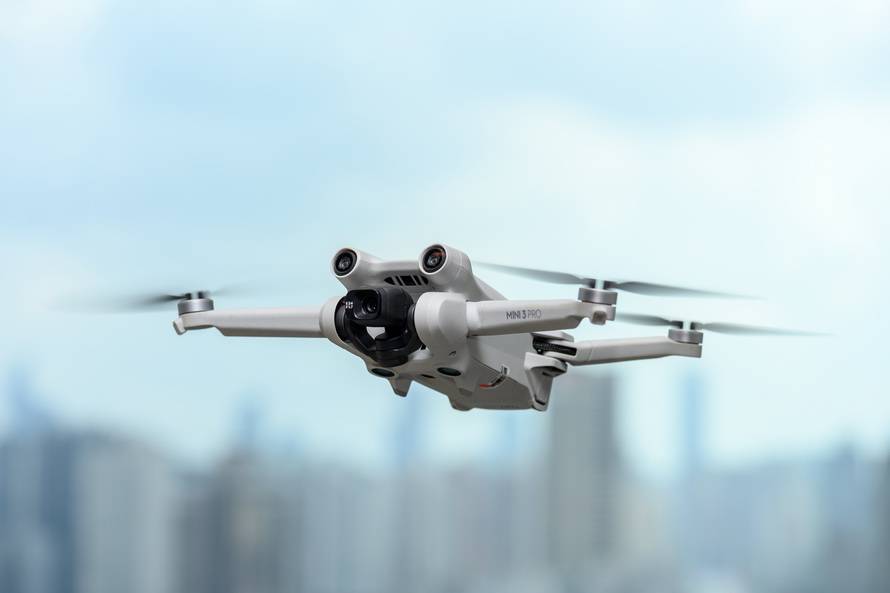
MIT has long been at the forefront of technological advancements, and their recent research into drone route navigation is no exception. By leveraging cutting-edge algorithms and machine learning, MIT’s innovative drone route research seeks to enhance the efficiency of drone navigations, which plays a crucial role in various industries such as logistics, surveillance, and environmental monitoring.
The Core of MIT’s Drone Navigation Research
MIT’s focus is on enhancing algorithms that utilize real-time data analysis to adaptively compute the most efficient drone paths. This research is significant considering the rapid growth of unmanned aerial vehicles (UAVs) across sectors. What sets MIT’s approach apart is its emphasis on integrating complex variables such as wind speed, obstacles, and traffic conditions, offering an adaptive framework that rivals traditional GPS-based navigation systems.
Applications and Impact
The potential applications of MIT’s drone route research are immense. In the logistics industry, the ability to automate and optimize delivery routes can save time and reduce operational costs. For surveillance, it enables more strategic positioning for security purposes with minimal human intervention. Environmental monitoring can also benefit significantly, as drones can efficiently cover vast areas to collect critical data on natural habitats or disaster-struck regions.
-
Reducing Carbon Footprint

As drone technology improves, the emphasis on carbon efficiency becomes more critical. MIT’s efficient navigation research not only focuses on direct route calculation but also on optimizing energy consumption. By minimizing unnecessary flight time, drones contribute to a reduced carbon footprint, aligning with global sustainability goals, and offering a more environmentally friendly alternative to traditional vehicles.
-
Emergency Response
In emergency situations, timing is crucial. Drones guided by MIT’s advanced research can quickly calculate and reach the most optimal paths, aiding in faster medical aid delivery or disaster relief operations. This capability can significantly improve response times, potentially saving lives and resources.
Emerging Challenges
Despite its promise, MIT’s drone navigation technology faces several challenges chiefly related to regulatory issues and privacy concerns. With constant data collection and route adjustments, ensuring that these drones do not infringe upon personal privacy remains a critical consideration. Additionally, regulations on drone airspace usage differ worldwide, posing another technological integration challenge for MIT’s systems.
Future Prospects : As the research matures, MIT looks forward to collaborating with global partners to refine and implement their findings into commercial applications. The growing acceptance of drone technology across various sectors makes it imperative to develop smarter and more efficient navigation systems.
Common Queries on Drone Route Research
What is the main objective of MIT’s drone route research?
The primary goal is to improve navigational efficiency by developing algorithms that can rapidly respond to dynamic environmental conditions, thus optimizing the drones’ flight paths.
How does this research benefit the logistics industry?
Efficient route optimization can greatly reduce time and costs associated with delivery operations, leading to faster service and reduced emissions.
Are there privacy concerns with adaptive drone paths?
While adaptive routes offer numerous benefits, they raise questions about potential privacy infringements, necessitating clear guidelines and regulatory compliance to safeguard personal data.
