
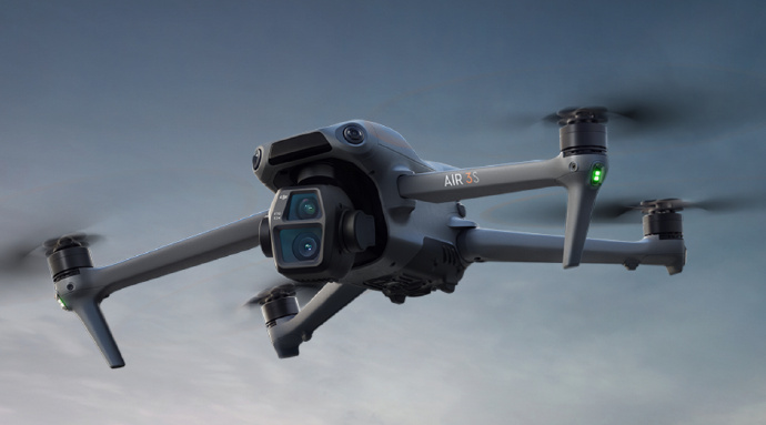
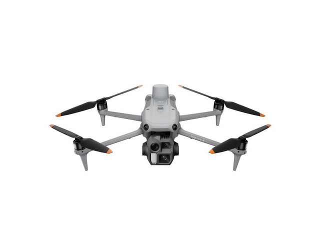
Exploring the Future of LiDAR Drones in Various Industries
LiDAR drones have emerged as a game-changing technology that is rapidly transforming industries ranging from agriculture to construction. Leveraging lasers and sophisticated sensors, these drones are capable of capturing detailed images of landscapes, structures, and other surfaces. The versatility of LiDAR drones has led to their increasing application, providing numerous benefits and efficiencies. Let’s delve into how these drones are revolutionizing different sectors.
Agricultural Advancements
In agriculture, LiDAR drones are being utilized to map and monitor vast landscapes, giving farmers unprecedented insights into their crops and fields. By capturing data on vegetation and terrain, these drones help in optimizing irrigation, ensuring accurate soil analysis, and enhancing yield prediction models. This precision agriculture, bolstered by LiDAR technology, is paving the way for sustainable farming practices.
Construction and Infrastructure
LiDAR drones have proven invaluable in the construction sector, providing accurate topographical data and 3D models necessary for planning and project development. These drones facilitate site inspection, risk assessment, and progress monitoring, improving safety and efficiency. By minimizing manual surveying errors, construction timelines and costs can be significantly reduced.
Environmental Conservation
Environmental conservation efforts also benefit greatly from LiDAR drones. They are employed to study ecosystems, track animal movements, and manage resources effectively. Through precise mapping of natural habitats, LiDAR drones help conservationists take informed actions to protect biodiversity and natural resources.
Urban Planning and Smart Cities
In urban settings, LiDAR drones are pivotal for city planning and developing smart city infrastructures. They assist in detailed mapping of crowded areas, allowing planners to visualize urban growth and optimize infrastructure. With real-time data and analytics from LiDAR drones, cities can enhance traffic management and improve public safety measures.
Telecommunications
LiDAR drones are increasingly used in the telecommunications industry to plan network expansions and optimize signal coverage. By mapping cell tower locations and analyzing geographic obstacles, providers can enhance service quality and reduce deployment time.
LiDAR drones continue to open up new opportunities across numerous domains, demonstrating their potential to drive innovation and reshape traditional industry practices. As technology advances, expect LiDAR drones to keep evolving, further enhancing their capabilities and applications.
FAQs on LiDAR Drones
What are the main advantages of LiDAR drones?
LiDAR drones offer increased accuracy, efficiency in data collection, and the ability to capture detailed 3D imagery. These advantages contribute to improved decision-making and operational efficiencies across various sectors.
How do LiDAR drones improve environmental conservation?
By providing detailed mappings of ecosystems and tracking wildlife patterns, LiDAR drones enable more informed environmental management and conservation strategies.
Can LiDAR drones be used in disaster management?
Absolutely, they are instrumental in mapping affected areas precisely and rapidly assessing damage in disaster-stricken zones, aiding in efficient planning and recovery efforts.