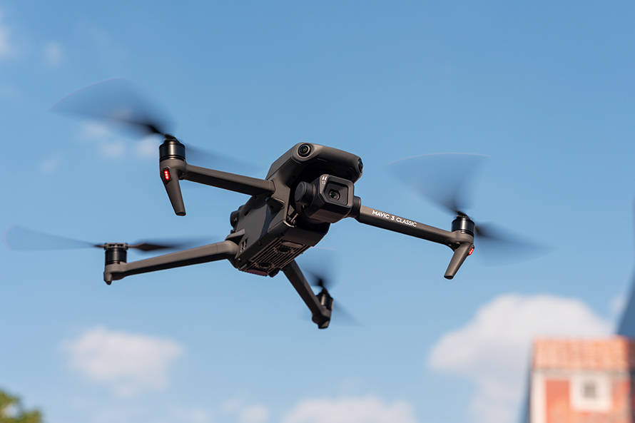
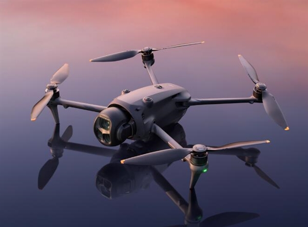
Drones have revolutionized the way we perceive and interact with the world. With the rapid advancement of drone map technology, discovering new terrain has become more accessible and efficient. Whether you are a hobbyist exploring new landscapes or a professional involved in surveying and mapping, drones provide powerful tools to capture and analyze geographical data with unprecedented accuracy. In this article, we will deep dive into how drone map technology is utilized, its benefits, and its potential impact on various industries.
Understanding Drone Mapping Technology
Drone mapping is the process of capturing aerial images and stitching them together to create orthomosaic maps, 3D models, and other visual outputs. Utilizing GPS data and powerful software, drones can map vast areas of land far quicker and more efficiently than traditional methods. By flying over the area of interest, a drone captures high-resolution images, which are then processed to generate comprehensive maps with precise detail.
The Benefits of Drone Mapping
There are several key benefits to using drone map technology. One major advantage is cost-effectiveness. By reducing the need for ground-based surveys, companies save on labor and equipment costs. Drones can also access difficult or hazardous terrain, ensuring that surveying can be undertaken without risking human safety. Moreover, the flexibility of drones means they can be deployed rapidly and frequently, allowing for ongoing monitoring of dynamic environments and constructionsites.
Another significant benefit is accuracy. Drone mapping enables the collection of high-resolution data, offering granular details that would be unthinkable with satellite imagery. This precision is crucial in sectors like agriculture, urban planning, and construction. For farmers, the ability to map fields and monitor crop health through NDVI (Normalized Difference Vegetation Index) mapping ensures optimal yield and resource management.
Applications in Various Industries
The applicability of drone map technology spans multiple industries:
- Agriculture: Drones are used to monitor crop health, plant counts, and irrigation management. This allows farmers to make informed decisions that can lead to increased productivity and cost savings.
- Construction:
 Construction companies utilize drone mapping for site surveys, project monitoring, and volume measurements of stockpiles, ensuring projects remain on schedule and within budget.
 - Environmental Conservation: By mapping large areas quickly, drones facilitate the study of ecosystems and assist in wildlife conservation efforts, making it easier to track changes over time.
- Mining: Drones provide detailed topographic maps for mine planning and monitoring, which improves safety and operational efficiency.

.jpg)
In addition to these industries, emergency response teams use drones for coordinating disaster relief, while urban planners leverage them for development purposes and analyzing traffic patterns. The ability to produce detailed maps rapidly becomes an asset in various scenarios.
How Drone Map Technology Works
The functionality of drone mapping heavily relies on advanced sensors and software. As the drone flies over an area, it captures a series of overlapping images. These images are tagged with GPS coordinates, allowing software to align and stitch them into complete maps. Furthermore, photogrammetry techniques enable the creation of 3D models, providing another layer of in-depth analysis.
The precision offered by LiDAR (Light Detection and Ranging) technology, often used in conjunction with drones, adds another dimension of detail, permitting the mapping of vegetation, ground surfaces, and man-made structures with exceptional resolution.
The Future of Drone Mapping
As the industry advances, we can expect drone mapping technology to become more sophisticated. Innovations like AI and machine learning will provide even more key insights from the captured data, drastically enhancing analytical capabilities. Environmental monitoring and disaster management will also benefit significantly from rapid advancements in drone map technology.
By integrating drone maps into smart city solutions, city planners can efficiently visualize urban expansion and infrastructural needs. It will also drive the agricultural field towards precision farming, optimizing resources, and enhancing sustainability.
Common Questions About Drone Mapping
- What is the accuracy of drone mapping? Drones can achieve sub-centimeter accuracy, offering unparalleled detail in terms of spatial data.
- How often can drone maps be updated? Depending on the project’s requirements, maps can be updated daily, weekly, or monthly, providing real-time data for decision-making processes.
- What challenges exist with drone mapping? Factors such as weather, regulatory restrictions, and technical expertise can impact drone operations and data quality.
Drones have undeniably transformed the landscape of mapping. With capabilities extending across multiple sectors, their impact is profound and far-reaching. As technology continues to evolve, the possibilities for drone map technology are virtually endless, promising a future where detailed geographical insights are just a drone flight away.
